
What is recorded here
Grave Yd is a small, trapezoidal graveyard on the west side of a crossroads, with headstones dating back to 1705 around the ruins of Rathcooney parish church. It has grown westward in stages and recently across the road to the south, becoming a long, narrow rectangle. The place holds centuries of local death and memory, marked by numerous 18th and 19th century stones that witness the continuity of life and loss in County Cork.
On W side of crossroads; small, trapezoidal graveyard (c. 50m; c. 40m N-S) shown on 1842 OS 6-inch map, extended to W in stages, as shown on 1901 and 1935 OS 6-inch maps, to long, narrow rectangular graveyard (c. 150m E-W; c. 40m N-S); recent extension across road to S. Numerous 18th and 19th century headstones, earliest noted dated 1705, around ruins of Rathcooney parish church (CO063-087002-).
The above description is derived from the published 'Archaeological Inventory of County Cork. Volume 2: East and South Cork' (Dublin: Stationery Office, 1994). In certain instances the entries have been revised and updated in the light of recent research.
Date of upload/revision: 14 January 2009
The monument record does not grant public access. Check the route and ask the landowner before entering private land.
- What survives
- Recorded monument
Places near here
 Glanmire Heritage SocietyMemorial · 27 yd
 Rathcooney HouseCountry house · 280 yd
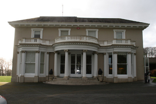 Lauristoncountry house · 1137 yd
 IndicatedEnclosure · 1518 yd
 Cork WalksVisitor information · 1713 yd
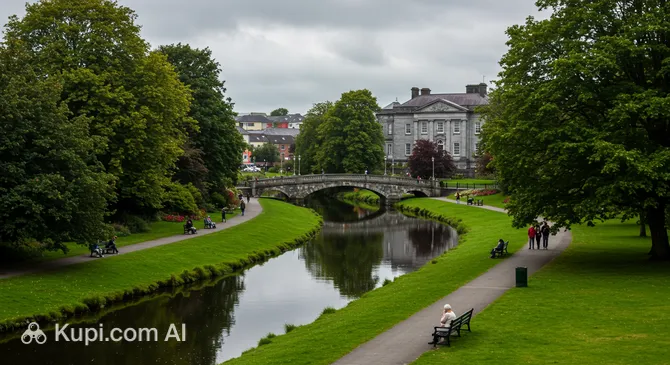 Tinker's Cross ParkMemorial · 1731 yd
 Ladys WellHoly well · 2.7 mi
 Tourist OfficeVisitor information · 2.8 mi
 Lauriston Lodgegate lodge · 1392 yd
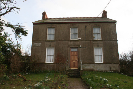 Banduff Househouse · 1617 yd
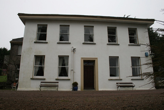 Barnavara Housecountry house, gate lodge · 1745 yd
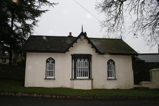 Glenkeen Lodgegate lodge · 1.1 mi
Other information
Photo: David Hawgood · Creative Commons Attribution-ShareAlike 2.0