What is recorded here
Located on a knoll on a N-facing slope overlooking the estuary of the Blackwater River, just the NW. The parish church of Kinsalebeg (WA040A001001-) is within a rectangular graveyard (dims. c. 55m E-W; c. 40m N-S) defined by an overgrown earthen bank. A derelict Church of Ireland church occupies the site and there is no evidence of an older structure. An early 17th-century graveslab (WA040-001003-) can no longer be found.
Compiled by: Michael Moore
Date of upload: 20 Octiber, 2011
The monument record does not grant public access. Check the route and ask the landowner before entering private land.
- What survives
- Recorded monument
Places near here
 Kinsalebeg Churchchurch/chapel · 13 yd
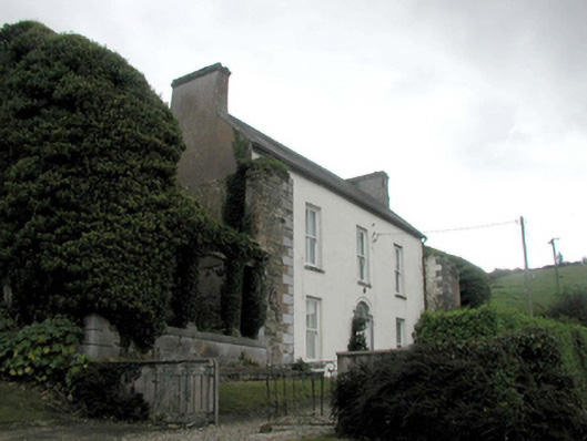 Prospect Hallhouse · 287 yd
 Ferry PointViewpoint · 1079 yd
 Embanked enclosureEnclosure · 1557 yd
 White Gables Art StudioGallery · 1560 yd
 Schooner Nellie Fleming 1936Memorial · 1569 yd
 John "Jack" FoleyMemorial · 1576 yd
 The Fishing Life of YoughalVisitor information · 1584 yd
 The WatergateHeritage attraction · 1609 yd
 St. Bartholomews WellHoly well · 1618 yd
 Youghal Heritage WalkWalking route · 1751 yd
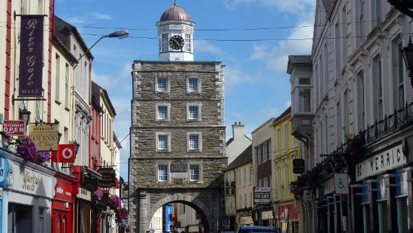 Slí na Sláinte YoughalWalking route · 1.2 mi