What is recorded here
At S end of Kilmeedy village, on N side of road. Roughly rectangular (42m E-W; 38m N-S), with extension to W. In use; most headstones 20th century, but some 18th and 19th century, the earliest noted dated 1778. Ruin of late-medieval parish church (LI045-009001-) of Kilmeedy NE of centre. Ground level immediately S of church much higher than inside of church; this area very stony and may be collapsed structure; the 1778 headstone stands on this higher area. Just outside E gable of church is low stone (H 0.2m; Wth 0.1m) pierced with circular hole (diam. 0.1m); this may be hanging eye from door of church. In S boundary wall of graveyard are a number of hammer-dressed blocks of stone, one with chamfered edge, which probably derive from church.
Compiled by: Denis Power
Date of upload: 26 August 2011
The monument record does not grant public access. Check the route and ask the landowner before entering private land.
- What survives
- Recorded monument
Places near here
 Church (in ruins)Church · 15 yd
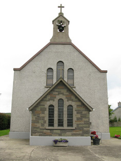 Saint Ita's Catholic Churchchurch/chapel · 134 yd
 CastleCastle, unclassified · 435 yd
 Garbally WellSpring · 1513 yd
 Moated site in BallinruaneMoated site · 1.1 mi
 Mayne Ho.Castle, unclassified · 1.6 mi
 IndicatedFairy fort / earthen ringfort · 1.6 mi
 ToberhoranSpring · 2.3 mi
 European ashEuropean ash · 5.3 mi
 Famine stoneMemorial · 5.7 mi
 KnockfeerinaMountain / peak · 6.1 mi
 Ballagh MountainMountain / peak · 7.7 mi