What is recorded here
Located on a level landscape with the W-E Rye Water, which forms the boundary with Co. Kildare, c. 200m to the S. The site of the parish church of Moyglare (ME049A-002----) is within a subrectangular graveyard (dims c. 65m E-W; c. 40-60m N-S) defined by masonry walls. According to the Dopping (1682-5) and Royal (1693) visitations the graveyard was 'well fenced' at that time (Ellison 1972, 4).
Compiled by: Michael Moore
Date of upload: 10 April, 2015
The monument record does not grant public access. Check the route and ask the landowner before entering private land.
- What survives
- Recorded monument
Places near here
 Church in MoyglareChurch · 23 yd
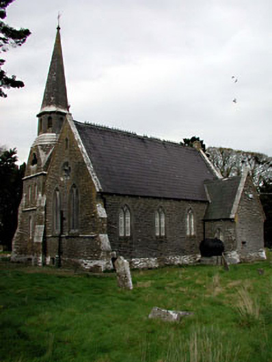 Saint Paul's Church (Moyglare)church/chapel · 24 yd
 Enclosure in Laraghbryan EastEnclosure · 1.0 mi
 Amicus AmericanisMemorial · 1.1 mi
 Moygaddy CastleCastle, tower house · 1.1 mi
 Moygaddy Tower HouseRuins · 1.1 mi
 Saint MaryMemorial · 1.2 mi
 Enclosure in MaynoothEnclosure · 1.2 mi
 Library GardenHeritage attraction · 1.3 mi
 Library CatHeritage attraction · 1.3 mi
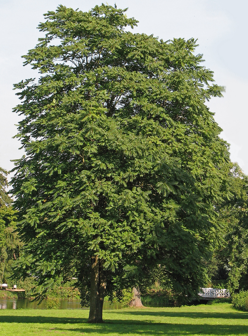 Tree of HeavenTree of Heaven · 1.4 mi
 Common LimeCommon Lime · 1.4 mi