What is recorded here
Reference to a graveyard here (O'Hanlon and O'Leary 1907, vol. 1, 291-294). Contains some uninscribed gravemarkers but visible inscribed headstones post date 1700 AD. Earliest headstone dates from 1736. There are some burials within the church, the earliest appears to be 1757. Graveyard was subject to a clean-up scheme around 1989, when at this time ivy was burnt of the walls of the church.
Roughly rectangular shaped graveyard (int. dims. 71m N-S; 66m E-W) enclosed by a stone wall as indicated on current ed OS 6-inch map. Church in N quadrant of graveyard.
The above description is derived from the published 'Archaeological Inventory of County Laois' (Dublin Stationery Office, 1995) compiled by P. David Sweetman, Olive Alcock and Bernie Moran. In certain instances the entries have been revised and updated in the light of recent research.
Date of upload: 17 December 2007
The monument record does not grant public access. Check the route and ask the landowner before entering private land.
- What survives
- Recorded monument
Places near here
 IndicatedEcclesiastical enclosure · 39 yd
 Enclosure in RathcreaEnclosure · 789 yd
 Church in Kylebeg (clanmallagh By.)Church · 1474 yd
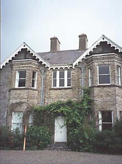 Grattan Lodgehouse · 1.4 mi
 Site of Ballymanus CastleCastle, unclassified · 1.9 mi
 OutlinedCastle, unclassified · 2.0 mi
 Black WalnutBlack Walnut · 2.4 mi
 European BeechEuropean Beech · 3.0 mi
 CEMETERYGraveyard · 3.1 mi
 Beech Way WalkWalking route · 3.2 mi
 Oughaval Wood MapVisitor information · 3.3 mi
 Mass RockNamed rock · 3.5 mi