
What is recorded here
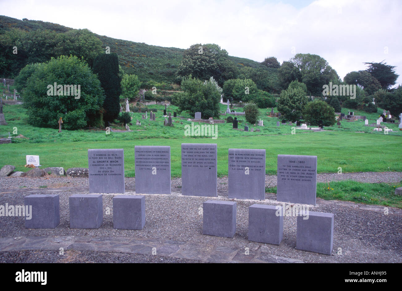
Roadside; on gentle W-facing slope, commanding extensive view to W and NW across River Lee. Roughly rectangular graveyard (max. L c. 60m NNW-SSE;max. Wth c. 50m ENE-WSW) enclosed by stone wall; entrance in S wall at W end. Raised arc of ringfort (CO082-021002-) at N end. Headstones within ringfort area date from 18th…
Read the whole record
From the National Monuments Service (Archaeological Survey of Ireland) record CO082-021001
Places near here
Photo credits
- Maker not stated on source page, www.istockphoto.com
- Maker not stated on source page, www.alamy.com
- Maker not stated on source page, it.pinterest.com
- National Inventory of Architectural Heritage
- Jonathan Thacker, Geograph · Creative Commons Attribution-ShareAlike 2.0
- Maker not stated on source page, www.pinterest.com
- Gordon Hatton, Wikimedia Commons · CC BY-SA 2.0
- El Gringo ( talk ) ( Uploads ), Wikimedia Commons · CC BY-SA 3.0
 Church in MoneycuskerChurch · 1 yd
Explorer Tom Church in Moneycusker has a dating profile that says 'stone and clay construction, 50 feet long, looking for someone…
 Mapped cemeteryCemetery · 1680 yd
Explorer Tom Mapped cemetery in County Cork holds a fake world record for the longest time spent without being noticed by anyone…
 Fairy fort / earthen ringfort in Gortacurrig (muskerry West By.)Fairy fort / earthen ringfort · 1.2 mi
Explorer Tom Fairy fort / earthen ringfort in Gortacurrig had a cow try to buy it, but the animal lacked the credit score and the…
 school1.5 mi
Explorer Tom School in Toom is now disused but still standing proudly next to the church. Built in 1840, it had separate entrances…
 St Finbarr's Roman Catholic ChurchChurch/chapel · 1.5 mi
Explorer Tom St Finbarr's Church in Toom would order extra gravy on its chips because it has a very ornate interior that demands…
 Carrigboy CastleHouse · 1.7 mi
Explorer Tom Carrigboy Castle in Carrigboy is a mess of phases from the 1870s. It has stepped gables and wings that look like they…
 Wedge tomb in Knockane (muskerry West By.)Wedge tomb · 1.8 mi
Explorer Tom Wedge tomb in Knockane would get on its tombstone: 'Here lies a gallery that collapsed before anyone could properly…
 Carrigboy WoodWood · 1.8 mi
Explorer Tom Carrigboy Wood would describe the 1800s to a teenager as ‘the era before phones when people just stood around looking…
Fairy fort / earthen ringfort in Lackareagh (muskerry West By.)Fairy fort / earthen ringfort · 2.6 miExplorer Tom Fairy fort / earthen ringfort in Lackareagh has strong opinions on modern buildings, specifically that they should all…
 Kilmichael Ambush SiteMonument · 3.4 mi
Explorer Tom Kilmichael Ambush Site in County Cork has a rivalry with every other ambush site because they all think theirs was the…
 Kilmichael AmbushAmbush · 3.4 mi
Explorer Tom The Kilmichael Ambush has a secret talent for making you feel like you’re walking through a very aggressive history…
Kilmichael MonumentMonument · 3.5 miExplorer Tom Kilmichael Monument in Haremount marks where the IRA ambushed the Black and Tans in 1920. The sword motifs are sharp…
More archaeology and monuments in County Cork · All of County Cork

What do you know about this place?Tap to add a comment or ask a question