What is recorded here
Grave Yd. holds Lurgan parish on a drumlin ridge in County Cavan, its D-shaped mound guarded by masonry walls and headstones spanning 1725 to 1967. A broken doorjamb stands among the graves like a threshold marker for another world, while an empty mortuary enclosure leans against the church wall, waiting for names never cut. The ridge may have been chosen because it caught light, wind or memory before stone was set.
Situated on a rise on the NE-facing slope of a NW-SE drumlin ridge. The parish church of Lurgan (ME039-067----) is within a D-shaped graveyard (max. dims c. 52m E-W; c. 50m N-S) defined by masonry walls (at N: Wth 0.45m; int. H 0.6m; ext. H 2.2m) which retain the mound of the graveyard. The graveyard has some trees and headstones dating from 1725 to 1967. One piece of a doorjamb (H 0.52m) with an external chamfer and internal door rebate is used as a grave-marker in the graveyard and a rectangular mortuary enclosure with no headstones is attached to the NW wall of the church.
Compiled by: Michael Moore
Date of upload: 18 March 2020
The monument record does not grant public access. Check the route and ask the landowner before entering private land.
- What survives
- Recorded monument
Places near here
 Church in ruinsChurch · 7 yd
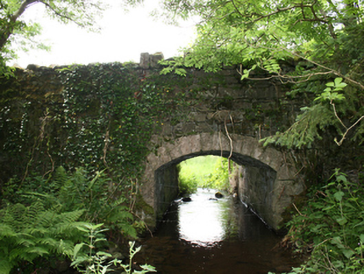 Curraghmore Bridgebridge · 350 yd
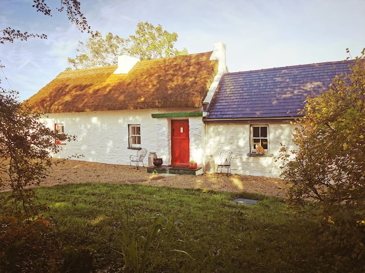 Correagh GlebeMountain / peak · 1119 yd
 Aghalion HillMountain / peak · 1.1 mi
 Aghaloughan Pollamalady ForestWood · 1.5 mi
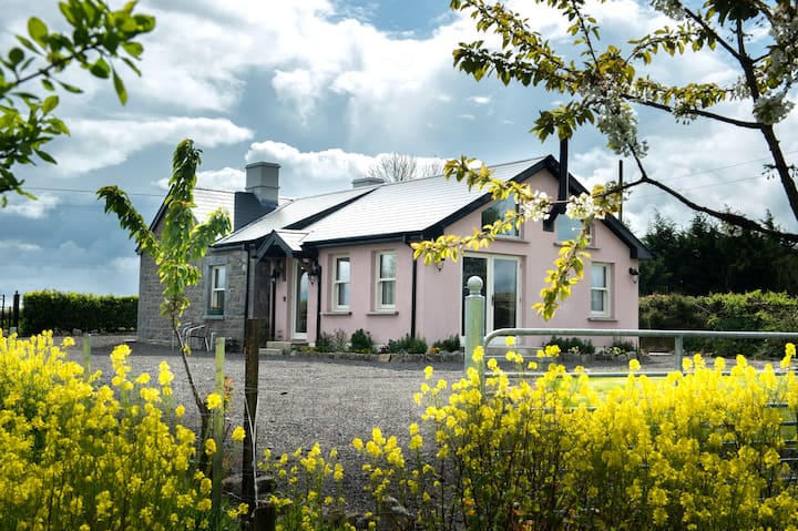 Lisgrea WoodlandWood · 1.5 mi
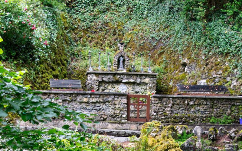 Holy WellHoly well · 1.5 mi
 ToberpatrickHoly well · 1.9 mi
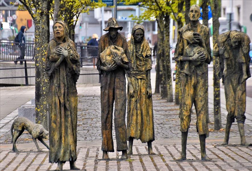 The Great FamineMemorial · 2.0 mi
 Peace BenchMemorial · 2.3 mi
 Fort Frederick IslandsIslet · 2.5 mi
 Sallow IslandIslet · 2.6 mi