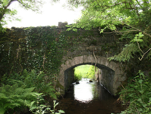
What is recorded here
Single-span segmental-arched sandstone road bridge, built c.1800, over watercourse, with overgrown mill pond to west. Gently sloping deck with random rubble stone parapets, spandrels, and wing walls having Scotch coping. Arched opening formed of punched ashlar voussoirs over dressed corner blocks. Rubble stone soffit and abutments. Walls overgrown with vegetation.
A well-composed bridge with an elegant cut-stone arch set in robust rubble elevations, forming a contrast of high aesthetic quality. Though overgrown, the bridge is very much intact and retains all of its original materials. Historically associated with a mill pond, a mill race, a former flax mill, and a long-demolished corn mill along the stream, the bridge is part of a wider ensemble of structures of industrial heritage interest. Historic Ordnance Survey maps indicate the presence of a holy well to the south-east of the bridge.
From the Buildings of Ireland (National Inventory of Architectural Heritage) record 40403901
This does not grant access. Most recorded buildings are privately owned; view them only from public ground unless the owner allows entry.
Places near here
Photo credits
- National Inventory of Architectural Heritage
- Ian Rob, Wikimedia Commons · CC BY-SA 2.0
- Deadstar, Wikimedia Commons · CC BY-SA 4.0
- Sitomon, Wikimedia Commons · CC BY-SA 2.0
- P Webb, Geograph · CC BY-SA 2.0
- Maker named on the Wikimedia Commons picture page · CC BY-SA 2.5
- Kieran Campbell, Geograph · CC BY-SA 2.0
- Richard Webb, Geograph · CC BY-SA 2.0
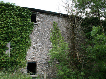 Lurgan Flax MillMill (water) · 324 yd
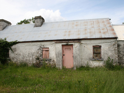 farm house1056 ydThe Great FamineMemorial · 2.1 miPeace BenchMemorial · 2.2 mi
.jpg/250px-Ballyjamesduff-Cavan_County_Museum_(geograph_7350383).jpg "Photo: Ian Rob, Wikimedia Commons · CC BY-SA 2.0") Cavan County MuseumMuseum · 2.6 mi
Cavan County MuseumMuseum · 2.6 mi Sheela-na-gig (present location) in Kilmore (castlerahan By., Ballyjamesduff Ed)Sheela-na-gig (present location) · 2.6 mi
 European Yew2.7 mi
 Welcome to VirginiaVisitor information · 2.9 mi
 Sessile Oak3.5 mi
 Windmill in Enagh (crossbane Ed)Windmill · 3.7 mi
 EnaghMountain / peak · 3.7 mi
 IslandMountain / peak · 5.4 mi
More historic places in County Cavan · All of County Cavan
What do you know about this place?