What is recorded here
In a minor valley through which a small stream formerly flowed SW just to the N, and on the site of the early monastic foundation of 'Cell céli críst', where a preceptory of Knights Hospitallers (KD020-007003-) was subsequently founded. Contains the ruins of a church (KD020-007002-) which, upon excavation (Manning 1982, 173-229), was found to be the result of several building-phases dating from the Early Christian through the Romanesque and high medieval periods to the 17th c. A section of the Pale Boundary (KD020-008----) runs nearby, to the S and W. A roughly rectangular area (dims. L c. 40m NE-SW; Wth c. 35m NW-SE) is enclosed by a stone wall. Manning (op cit 213-16) identified 23 headstones, one recumbent stone and an iron cross, and recorded all legible inscriptions. The dates on the headstones ranged from 1714 to 1954.
Compiled by: Gearóid Conroy
Date of upload: 10 June 2011
Medieval Christian burial site, associated with an early monastic foundation and later the Knights Hospitallers, dating to the 12th–14th century. Its location highlights the continuity of religious use of the site from early Christian to late medieval periods.
The monument record does not grant public access. Check the route and ask the landowner before entering private land.
- What survives
- Recorded monument
Places near here
 Church (in Ruins)Church · 13 yd
 Ecclesiastical enclosure in Kilteel UpperEcclesiastical enclosure · 51 yd
 Kilteel CastleCastle, tower house · 240 yd
 Stone CrossCross, High cross · 250 yd
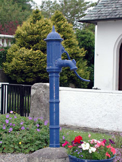 water pumpwater pump · 394 yd
 Kilteel WoodWood · 753 yd
 Cupidstown HillMountain / peak · 1.3 mi
 Rathmore MoatCastle, motte and bailey · 1.9 mi
 Saggart HillMountain / peak · 2.2 mi
 Rock WoodForest · 3.3 mi
 Inniscara GalleryGallery · 4.0 mi
 The Square RenewalMemorial · 4.2 mi