What is recorded here
In pastureland c. 700m to the WNW of Killimor village. This roughly rectangular graveyard (c. 55m E-W; c. 45m N-S) is delimited by a rendered stone wall capped with concrete. Access is gained through a gateway at NE. The remains of a medieval church (GA107-109001-) occupy its N half. Apart from one medieval graveslab (GA107-109002-) located within the church, the burials date from the late 18th century to the 20th century.
Compiled by: Olive Alcock
Date of upload: 2 March 2020
The monument record does not grant public access. Check the route and ask the landowner before entering private land.
- What survives
- Recorded monument
Places near here
 Church (in ruins)Church · 10 yd
 ‘St. Imor’s Holy Well’Holy well · 50 yd
 Hearnesbrooke Bridgebridge · 84 yd
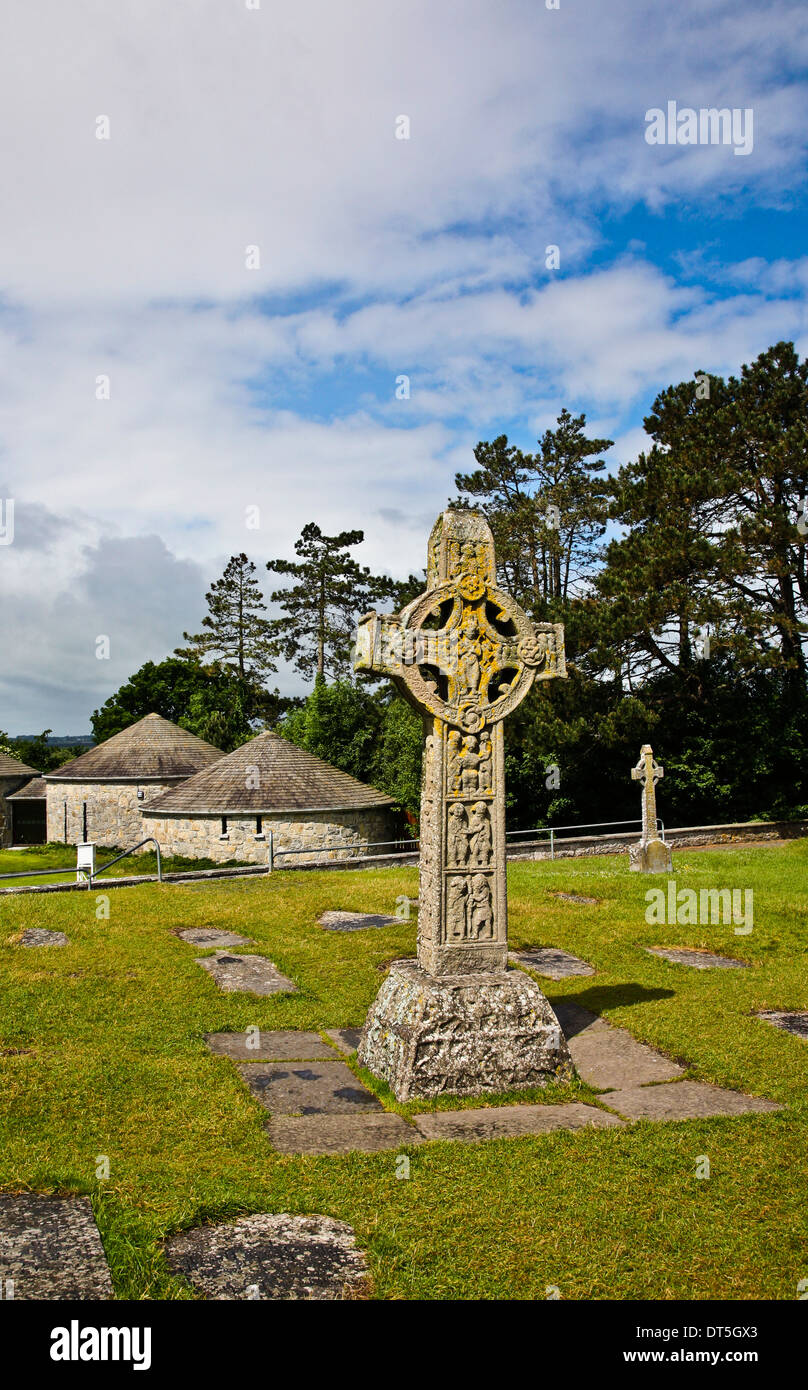 Site of CrossCross · 86 yd
 Quarryhill WoodWood · 3.5 mi
 Knockaunnageeragh Castle in ruinsCastle, unclassified · 3.6 mi
 Bog WoodForest · 3.7 mi
 Church HillMountain / peak · 3.7 mi
 CastleCastle, unclassified · 3.7 mi
 Redmond HillMountain / peak · 7.6 mi
 The bloody HollowHeritage attraction · 8.7 mi
 Battle of AughrimMajor battlefield · 8.8 mi