What is recorded here
On W side of road; roughly rectangular graveyard (c. 100m NW-SE; c. 40m E-W) bounded by stone walls; E side curves to respect road. Extended to N in 19th century with recent extension to W. N half still in use; S half, heavily overgrown, contains ruins of Killanully parish church (CO086-04502-) at E edge overlooking road. Ground slopes steeply away from S wall of church. Coleman (1910-12, 252) notes 'about forty headstones here', earliest inscribed headstones date to 1750s; immediately outside N wall of church family vault dated 1796. Just outside enclosing wall to E, headstone of Thomas Busteed dated 1756. At SW corner, built into S-facing slope, rectangular (3.6m E-W; 4.2m N-S) 2-storey watch house; roofless and missing gables; ground floor door in E wall.
The above description is derived from the published 'Archaeological Inventory of County Cork. Volume 2: East and South Cork' (Dublin: Stationery Office, 1994). In certain instances the entries have been revised and updated in the light of recent research.
Date of upload/revision: 14 January 2009
The monument record does not grant public access. Check the route and ask the landowner before entering private land.
- What survives
- Recorded monument
Places near here
 Killanully church (in Ruins)Church · 21 yd
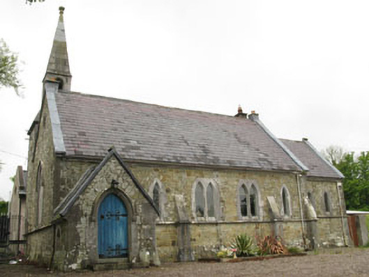 church/chapelchurch/chapel · 112 yd
 Furnace in KillanullyFurnace · 501 yd
 Enclosure in BallygarvanEnclosure · 1158 yd
 Meadstown Castle (Site of)Castle, unclassified · 1.3 mi
 Ballea CastleCastle, tower house · 1.3 mi
 Manx2 Flight 7100aviation accident · 1.9 mi
 Pauper's GraveyardArchaeological place · 2.4 mi
 Graveyard in CurraghconwayGraveyard · 2.8 mi
 Be Framed Fine Art GalleryGallery · 3.4 mi
 Vernon Mount ViewViewpoint · 3.5 mi
 City View SummitViewpoint · 3.5 mi