What is recorded here
In pasture, on a W-facing slope, immediately to the S of Killadoon church (SL034-131001-). In 1836 'an old burial place' was recorded in the townland of Killadoon and associated with the church (OSL, 246). No burials or grave-markers are evident. There is, however, a semicircular area (22m E-W; 17m N-S), enclosed E-S by a low earthen bank (Wth 2.9m; int. H 0.5m; ext. H 0.5m) and SW-W by a scarp (H c. 2m), immediately S of the church which could be the remains of the graveyard. The interior of this area slopes down to the W. An elongated mound (long axis NE-SW) is evident in the NE quadrant and a low linear earthen bank (L 25m) extends out to the SW from the SW edge. No graveyard is indicated here on the 1838 OS 6-inch map, while the area immediately to the N of the church is indicated as a formal walled garden.
The above description is derived from the published 'Archaeological Inventory of County Sligo' compiled by Ursula Egan, Elizabeth Byrne, Mary Sleeman with Sheila Ronan and Connie Murphy (Dublin Stationery Office, 2005).
Date of upload: 18 January 2008
The monument record does not grant public access. Check the route and ask the landowner before entering private land.
- What survives
- Recorded monument
Places near here
 IndicatedEnclosure · 635 yd
 Sweat Ho. (1838).Sweathouse · 893 yd
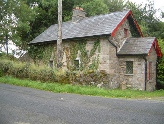 Ballindoon Housegate lodge · 1097 yd
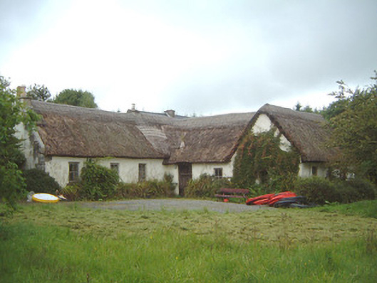 Nasool Cottagehouse · 1346 yd
 Barroe NorthMountain / peak · 1.3 mi
 Ballindoon Castle (in Ruins)Castle, unclassified · 1.3 mi
 Annaghgowla IslandIslet · 1.6 mi
 TumulusCastle, motte · 1.7 mi
 InishmoreIslet · 1.7 mi
 Loughbrick BayBay · 2.7 mi
 Geevagh Prisoners 1908 MemorialMemorial · 3.3 mi
 Bricklieve MountainsMountain / peak · 3.4 mi