
What is recorded here
Inishmore Island is an island inside a lake, a small world within a larger one, and the tumulus stands at its western edge where the land surrenders to water. The mound rises four and a half metres above the pasture, its flat top no wider than a room, while a buried ditch and outer bank circle it like a forgotten promise. A rectangular platform stretches south of the mound, perhaps a courtyard for people who watched the lake, kept a fire, or waited for boats that no longer come. The shoreline hides boulders in the shallows, as if the island is still adjusting itself after being built.
In pasture, on the W shoreline of Inishmore Island in Lough Arrow. A grass-covered flat-topped mound (diam. at top 4m N-S; 5.7m E-W; diam. at base c. 23m; H 4.5m) with steeply sloping sides. The mound is highest on the W side due to the natural slope down to the shoreline. There is a flat-bottomed fosse around the base of the mound except along the W arc where the edge of the mound slopes down to the shoreline. Rock outcrop is evident in the fosse at NE. An external flat-topped bank (Wth 3.6m; int. H 2m to base of fosse; ext. H 1.1m) is evident NW-NNE. Immediately outside the fosse at S is a roughly rectangular platform (12.5m N-S; 15m E-W) or bailey (SL034-232001-) defined by a fosse along the N and S sides, that on the S side being less well defined, and by a steep-sided scarp on the W side; the E side is indistinct. The nature of irregular lines of submerged boulders noted at the shoreline immediately to N of the mound remains unclear. The form of the mound and the attached platform are consistent with a small earthwork castle.
The above description is derived from the published 'Archaeological Inventory of County Sligo' compiled by Ursula Egan, Elizabeth Byrne, Mary Sleeman with Sheila Ronan and Connie Murphy (Dublin Stationery Office, 2005).
Date of upload: 18 January 2008
The monument record does not grant public access. Check the route and ask the landowner before entering private land.
- What survives
- Recorded monument
Places near here
 InishmoreIslet · 134 yd
 Monastery (in Ruins)Church · 622 yd
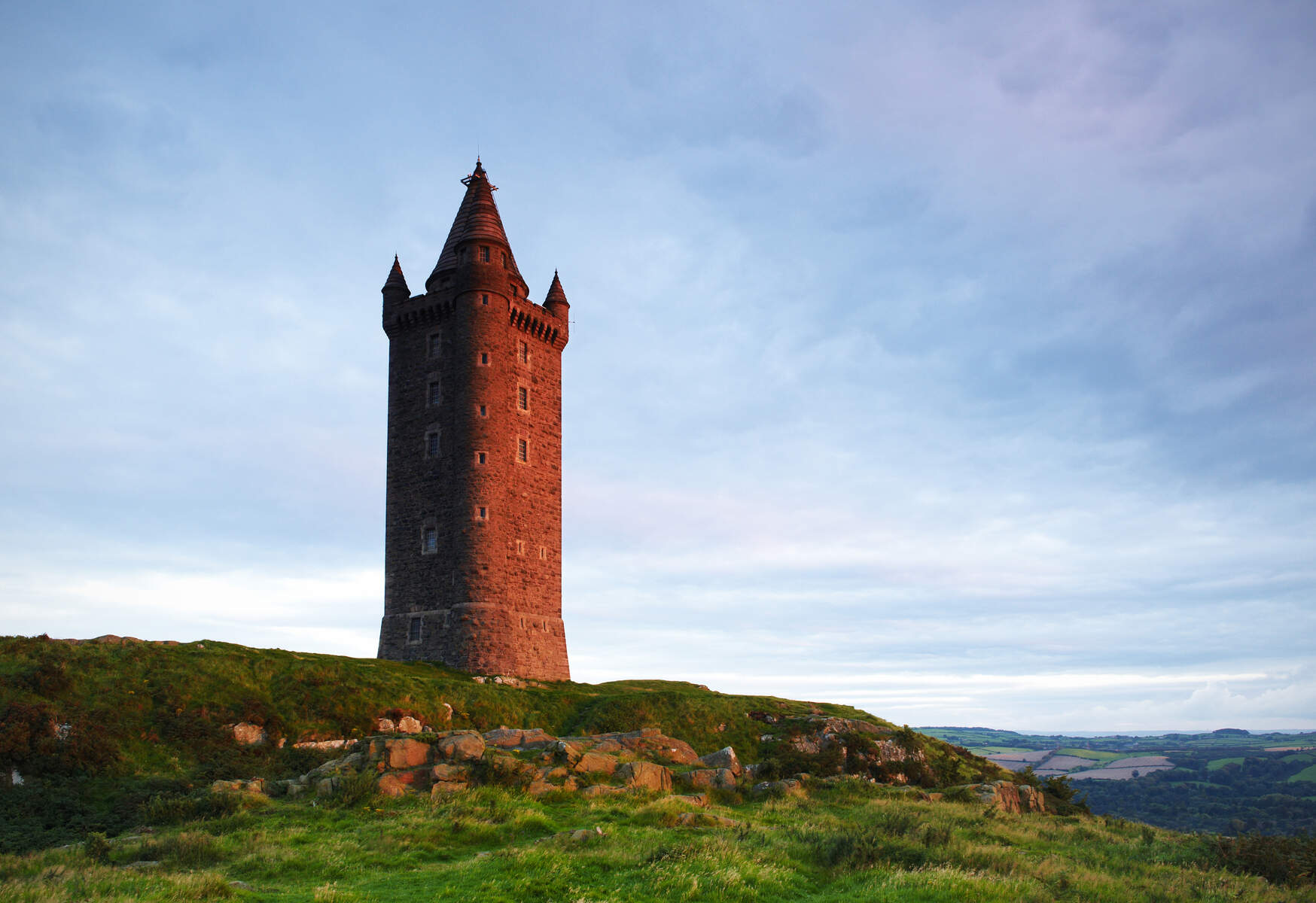 Tower (in Ruins)Structure · 753 yd
 Annaghgowla IslandIslet · 817 yd
 Enclosure in Barroe SouthEnclosure · 1124 yd
 Ballindoon Castle (in Ruins)Castle, unclassified · 1137 yd
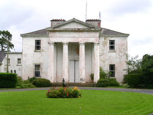 Ballindoon Housecountry house · 1214 yd
 Loughbrick BayBay · 1.3 mi
 Barroe NorthMountain / peak · 1.6 mi
 Castle BaldwinCastle · 1.7 mi
 Bricklieve MountainsMountain / peak · 2.3 mi
 Treanscrabbagh caveCave · 2.8 mi
Other information
Photo: Credit not shown in the picture search · Rights wording not checked; contact us if this picture should be removed