What is recorded here
Listed in the SMR (1989) and RMP (1995) and classified 'Castle'. In mature deciduous forest, on top of a high rounded central point of Annaghgowla Island in Lough Gara. A rectangular one-storey, gable-ended structure built of stone in lime mortar with brick details. The S gable stands almost to full height and the W wall is also well preserved but most of the N and E walls have fallen. There is a central doorway in the S wall, which was framed in brick. There is a brick string course c. 0.8m above ground level and another on the gable at the height of the side walls. There is a brick framed occulus in S gable. There is the possible remains of a fireplace, flanked by windows, in the N wall. This is probably of 18th century date. The structure is not marked on the 1938 edition of the OS 6-inch map. This, together with the architectural features recorded above, strong suggest that this structure is post-1700 AD in date.
Compiled by: Archaeological Survey Unit, UCC
Date of upload: 13 January 2012
The monument record does not grant public access. Check the route and ask the landowner before entering private land.
- What survives
- Recorded monument
Places near here
 Annaghgowla IslandIslet · 126 yd
 TumulusCastle, motte · 753 yd
 InishmoreIslet · 885 yd
 Enclosure in BrickeenEnclosure · 888 yd
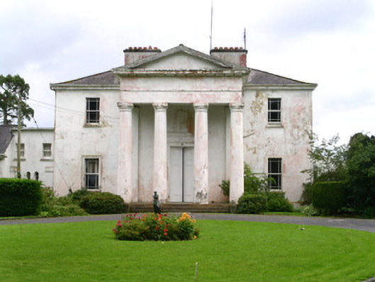 Ballindoon Housecountry house · 1138 yd
 Monastery (in Ruins)Church · 1270 yd
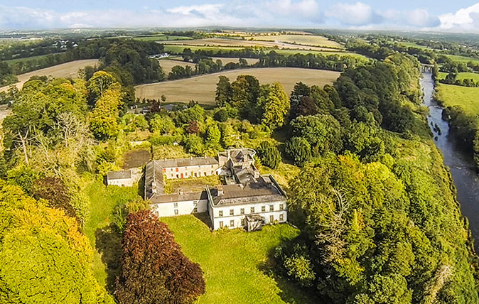 Cave (Site of)Man-made underground passage · 1474 yd
 Ballindoon Castle (in Ruins)Castle, unclassified · 1630 yd
 Loughbrick BayBay · 1.7 mi
 Barroe NorthMountain / peak · 1.9 mi
 Bricklieve MountainsMountain / peak · 2.0 mi
 Treanscrabbagh caveCave · 2.5 mi
Other information
Photo: Credit not shown in the picture search · Rights wording not checked; contact us if this picture should be removed