
What is recorded here
On top of the E-facing slope of a ridge, close to the W shore of Lough Arrow. A D-shaped area (c. 20m NW-SE; 20m SW-NE) defined by remnants of an earthen bank (Wth 2.2m; int. H 0.6m; ext. H 0.2m) along the SW and NW arcs and by a scarp N-E. The straight SE side is defined by a linear field boundary on a NE-SW axis. The interior is covered with overgrowth and strewn with stones. There are no visible remains of the hut site (SL034-195002-) previously recorded in the centre of the interior (SMR (1989) file).
The above description is derived from the published 'Archaeological Inventory of County Sligo' compiled by Ursula Egan, Elizabeth Byrne, Mary Sleeman with Sheila Ronan and Connie Murphy (Dublin Stationery Office, 2005).
Date of upload: 18 January 2008
This remains an important historical record, but the official description says the monument is no longer visible or has been destroyed. The monument record does not grant public access. Check the route and ask the landowner before entering private land.
- What survives
- No visible remains or recorded as destroyed
Places near here
 Annaghgowla IslandIslet · 864 yd
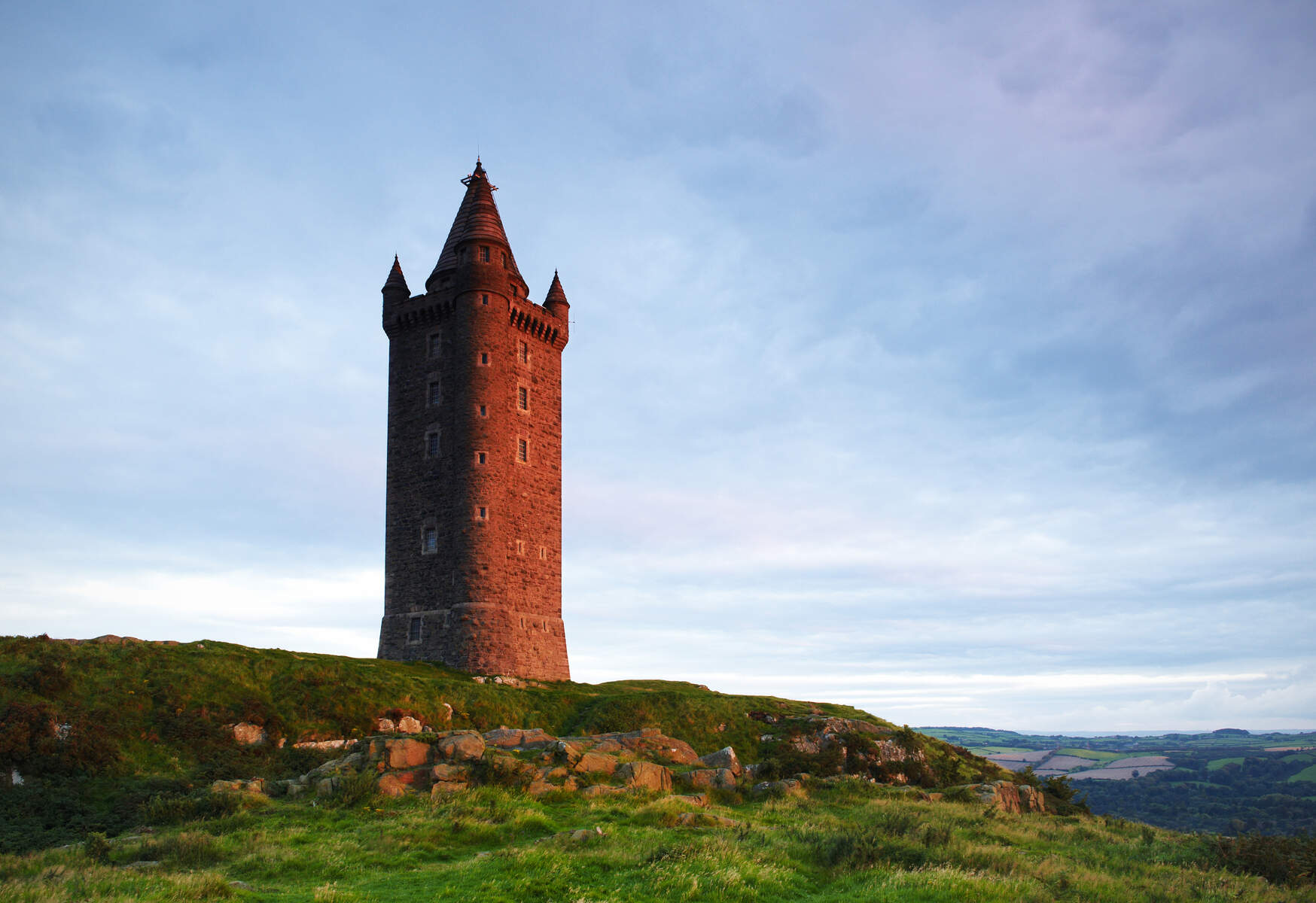 Tower (in Ruins)Structure · 888 yd
 CaveMan-made underground passage · 1233 yd
 Castle BaldwinCastle · 1329 yd
 Castlebaldwincastle/fortified house · 1330 yd
 TumulusCastle, motte · 1633 yd
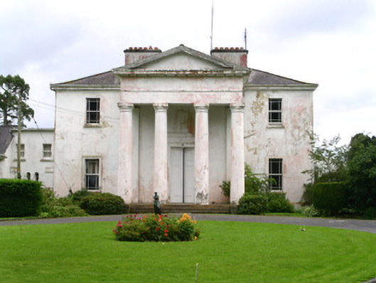 Ballindoon Housecountry house · 1710 yd
 InishmoreIslet · 1.0 mi
 Bricklieve MountainsMountain / peak · 1.7 mi
 Treanscrabbagh caveCave · 2.1 mi
 Carricknahorna EastMountain / peak · 2.1 mi
 Loughbrick BayBay · 2.1 mi
Other information
Photo: Credit not shown in the picture search · Rights wording not checked; contact us if this picture should be removed