
What is recorded here
On a SSW-facing slope. An oval area (50m E-W; 34m N-S) enclosed by an earthen bank (Wth 1.8m; int. H 0.7m; ext. H 0.8m) and an external boggy fosse (Wth 1.5m; D 0.5m). The interior slopes down to S and is crossed by a low E-W field boundary. Indicated only on the 1914 OS 6-inch map as a large oval field with coniferous trees planted within it.
The above description is derived from the published 'Archaeological Inventory of County Sligo' compiled by Ursula Egan, Elizabeth Byrne, Mary Sleeman with Sheila Ronan and Connie Murphy (Dublin Stationery Office, 2005).
Date of upload: 18 January 2008
The monument record does not grant public access. Check the route and ask the landowner before entering private land.
- What survives
- Recorded monument
Places near here
 Carn, StonePassage tomb · 661 yd
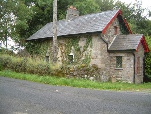 Ballindoon Housegate lodge · 994 yd
 Sweat Ho. (1838).Sweathouse · 1339 yd
 Bellarush Br.Bridge · 1379 yd
 Ballindoon Castle (in Ruins)Castle, unclassified · 1.5 mi
 Annaghgowla IslandIslet · 1.6 mi
 Barroe NorthMountain / peak · 1.6 mi
 Castle BaldwinCastle · 1.8 mi
 InishmoreIslet · 1.9 mi
 Loughbrick BayBay · 2.9 mi
 Riverstown Folk ParkHeritage attraction · 3.2 mi
 Bricklieve MountainsMountain / peak · 3.3 mi
Other information
Photo: Credit not shown in the picture search · Rights wording not checked; contact us if this picture should be removed