What is recorded here
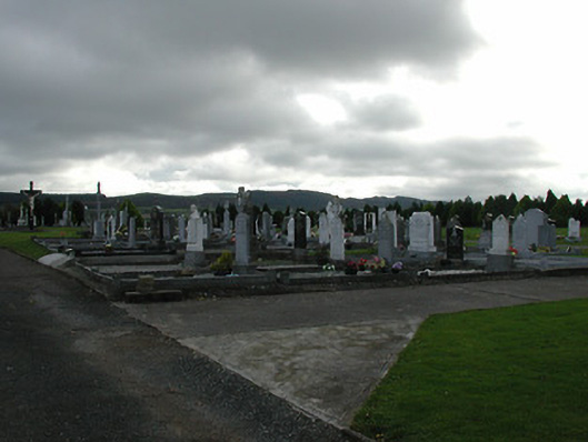
On top of a steep slope on the S-SE side of a small valley, surrounded by tillage and grassland. There are good views in all directions, especially along and across though valley, though somewhat limited to the S. According to Healy (1874-9, 44) the church is dedicated to St. Drenan whose feast day is the 12th of December. The medieval church (KK012-059001-) is located on the N side of a roughly lozenge-shaped walled graveyard (dims. c. 35m NE-SW; c. 31m NW-SE). The graveyard (dims. c. 87m NE-SW; c. 48m NW-SE) is defined by a dashed line on the 1st (1839) ed. OS 6-inch map which indicates it was not enclosed at this time. The church was roughly centrally placed within this unenclosed graveyard. The graveyard was enclosed by 1900 were it is depicted on the revised OS 6-inch map. The N wall of the graveyard kinks outward at the NW angle to accommodate a mausoleum to the St. George family of Woodsgift which bears the date 1825 (OPW Correspondance 1942). This mausoleum appears to be the structure depicted on the 1st ed. OS 6-inch map NW of the church. There is a 13th/early 14th-century graveslab (KK012-059003-) associated with the church and graveyard.
Compiled by: Jean Farrelly
Date of upload: 14 June 2019
The monument record does not grant public access. Check the route and ask the landowner before entering private land.
- What survives
- Recorded monument
Places near here
 Enclosure in KildrinaghEnclosure · 246 yd
 Enclosure in ParksEnclosure · 866 yd
 Kildrinagh WoodForest · 1174 yd
 CastleCastle, tower house · 1406 yd
 Saint Patrick's Catholic Churchgraveyard/cemetery · 1612 yd
 Killahy Castle in ruinsCastle, unclassified · 1.1 mi
 rectory/glebe/vicarage/curate's houserectory/glebe/vicarage/curate's house · 1.1 mi
 Four Acre WoodForest · 2.2 mi
 Kilcooly AbbeyHeritage attraction · 3.1 mi
 Clomantagh HillMountain / peak · 3.6 mi
 Bregaun HillMountain / peak · 4.4 mi
 John HelyMemorial · 4.6 mi