
What is recorded here
On a steep slope N-facing slope on the S side of valley, a little above the slight terrace occupied by a medieval church (KK012-059001-) and graveyard (KK012-059002-), in reclaimed grassland. There are very good views across and along valley to the N, E and W. A sub-rectangular area (dims. 24m E-W; 23m N-S) enclosed by a low stoney bank (Wth c. 1m; int. H c. 0.15m at N, c. 0.5m at S; ext. H c. 0.5m at N, almost level at S) with rounded corners. The interior is divided in two by a low scarp (H 0.56m) running E-W. The monument is overgrown with scrub and thorn bushes.
Compiled by: Jean Farrelly
Date of upload: 15 June 2019
The monument record does not grant public access. Check the route and ask the landowner before entering private land.
- What survives
- Recorded monument
Places near here
 IndicatedHoly well · 744 yd
 Enclosure in ParksEnclosure · 1057 yd
 Kildrinagh WoodForest · 1211 yd
 CastleCastle, tower house · 1425 yd
 Killahy Castle in ruinsCastle, unclassified · 1735 yd
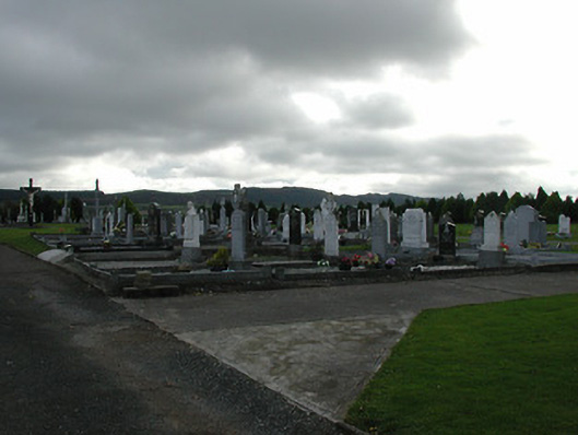 Saint Patrick's Catholic Churchgraveyard/cemetery · 1.1 mi
 rectory/glebe/vicarage/curate's houserectory/glebe/vicarage/curate's house · 1.1 mi
 Four Acre WoodForest · 2.1 mi
 Kilcooly AbbeyHeritage attraction · 3.1 mi
 Clomantagh HillMountain / peak · 3.7 mi
 Bregaun HillMountain / peak · 4.3 mi
 John HelyMemorial · 4.7 mi
Other information
Photo: Credit not shown in the picture search · Rights wording not checked; contact us if this picture should be removed