What is recorded here
On a low E-W ridge in rolling grassland. There is a ring-ditch (KK012-054002-) c. 80m to the WSW. Indicated as a roughly rectangular enclosure (dims. c. 33m NE-SW; c. 25m NW-SE) on the 1st (1839) ed. OS 6-inch map but not indicated on the 1900 revision, suggesting it was levelled between 1839 and 1900. Its depiction as a roughly rectangular enclosure on the 1st ed. OS 6-inch map does not appear to be accurate, as it is visible as a circular cropmark on an aerial photograph (CUCAP AOZ067, 13 July 1966) (diam. c. 35-40m) with a smaller circular enclosure (KK012-054004-) within the interior in the SW quadrant. The aerial photograph also shows a linear cropmark of a levelled field boundary (KK012-054003-) running roughly N-S immediately W of the enclosure.
See attached photograph:
KK012-054001-_01 CUCAP AOZ067, 13 July 1966
Compiled by: Jean Farrelly
Date of upload: 14 June 2019
The monument record does not grant public access. Check the route and ask the landowner before entering private land.
- What survives
- Recorded monument
Places near here
 Enclosure in RathclevinEnclosure · 447 yd
 HacahuredFairy fort / earthen ringfort · 510 yd
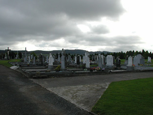 Saint Patrick's Catholic Churchgraveyard/cemetery · 988 yd
 CastleCastle, tower house · 1025 yd
 Lisduff Bridgebridge · 1623 yd
 Kildrinagh WoodForest · 1.1 mi
 Killahy Castle in ruinsCastle, unclassified · 1.5 mi
 Four Acre WoodForest · 2.0 mi
 Clomantagh HillMountain / peak · 3.4 mi
 Bregaun HillMountain / peak · 4.2 mi
 John HelyMemorial · 4.2 mi
 DelaneyMemorial · 4.4 mi
Other information
Photo: Credit not shown in the picture search · Rights wording not checked; contact us if this picture should be removed