What is recorded here
Situated on the summit of a low hill. The remains of the church (dims. 13m E-W; 5.9m N-S) are represented by a jumbled bank of large stones and earth (Wth 1.6-2m; int. H 0.7-1.1m; ext. H 0.5-1.5m). There is a gap (Wth 1.7m) in the S wall slightly W of centre. The church is at the centre of a large roughly oval enclosure (dims. c. 140m SE-NW; 100m NE-SW) defined by a wide bank (Wth 3.4m; int. H 1m; ext. H c. 1.4-2m). At the NE there is a straight section of field wall but the original boundary probably curved northwards at this point. There are no grave-markers visible within the enclosure. Another possible enclosure (WI035-029----) lies adjacent to the E.
The above description is derived from the published 'Archaeological Inventory of County Wicklow' (Dublin: Stationery Office, 1997). In certain instances the entries have been revised and updated in the light of recent research.
Date of upload/revision: 22 August 2013
The monument record does not grant public access. Check the route and ask the landowner before entering private land.
- What survives
- Recorded monument
Places near here
 Kilcashel Church (in Ruins)Church · 6 yd
 Kilcashel ChurchRuins · 9 yd
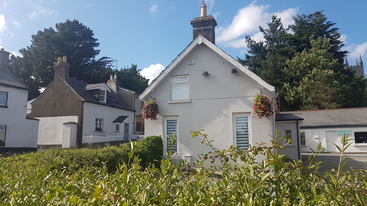 Enclosure in KilcashelEnclosure · 96 yd
 IndicatedHillfort · 525 yd
 Meeting of the WatersHeritage attraction · 1.0 mi
 Site of CastleCastle, unclassified · 1.6 mi
 Sweet ChestnutSweet Chestnut · 2.4 mi
 Silver FirSilver Fir · 2.6 mi
 Woodenbridge World War One MemorialMemorial · 2.7 mi
 Viewing TowerHeritage attraction · 2.9 mi
 (Site of) CastleCastle, unclassified · 4.0 mi
 Wicklow 400Memorial · 4.1 mi