
What is recorded here
From the National Monuments Service (Archaeological Survey of Ireland) record CO017-001001
Places near here
Photo credits
- National Inventory of Architectural Heritage
- Maker not stated on source page, monumentalireland.ie
- Maker not stated on source page, www.dreamstime.com
- Maker not stated on source page, fi.pinterest.com
- Mike Searle, Geograph · CC BY-SA 2.0
- Buttevant GAA club account; individual photographer not stated, x.com
- Maker not stated on source page, en.wikipedia.org
- Kmcnamee, Wikimedia Commons · CC BY-SA 4.0
 Velvetstown HouseDemesne walls/gates/railings · 619 yd
Explorer Tom Velvetstown House has a gateway that mixes cast and wrought iron in a way that looks like it was designed by someone…
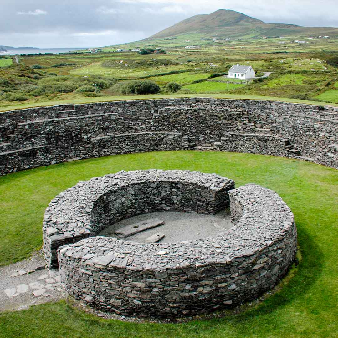 Fairy fort / earthen ringfort in BallinguileFairy fort / earthen ringfort · 1512 yd
Explorer Tom Ballinguile has a levelled fort that's basically a scarp now, looking a bit thin on ice cream. There's a shallow ditch…
 Ballyhoura LodgeHouse · 1548 yd
Explorer Tom Ballyhoura Lodge has projecting end bays that give it real character and substance. The slate roof is interesting…
 Ballyhoura BridgeBridge · 1758 yd
Explorer Tom Ballyhoura Bridge smells like wet wool and old dreams, according to my sensitive nose. It’s built at a skew to the…
 Imphrick ChurchRuins · 1.1 mi
Explorer Tom Imphrick Church would complain to the council about the lack of insulation if it could, but it’s too proud to ask for…
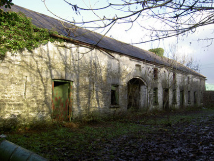 Jordanstown HouseFarmyard complex · 1.6 mi
Explorer Tom Jordanstown House has a courtyard of outbuildings behind it, full of limestone detailing. Built in 1870 with a hipped…
 Templeconnell CastleCastle · 1.7 mi
Explorer Tom Templeconnell Castle is having a massive row with the fairies over who gets the best parking spot right by the gate.…
 Templeconnell Castle (in Ruins)Castle, tower house · 1.7 mi
Explorer Tom Templeconnell Castle is a five-storey tower that looks like it went to war with gravity and lost slightly. The…
 Fairy fort / earthen ringfort in Ballyvorisheen (orrery and Kilmore By.)Fairy fort / earthen ringfort · 1.8 mi
Explorer Tom Fairy fort in Ballyvorisheen is basically levelled now, but there was a hostile animal in the field that stopped anyone…
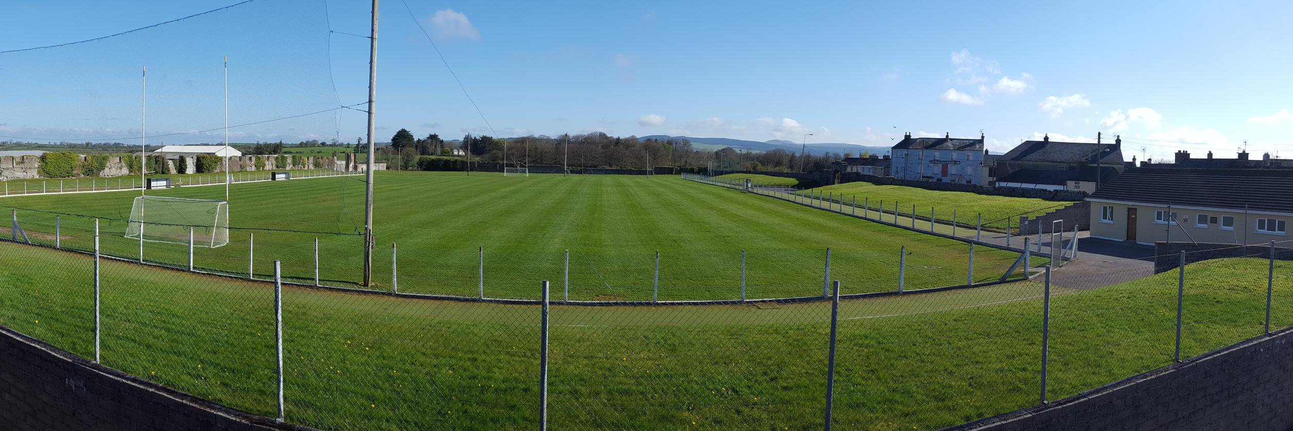 Buttevant GAA pitchGAA ground · 2.1 mi
 Saint Brigid's CemeteryGraveyard · 2.4 mi
Explorer Tom Saint Brigid's Cemetery is hosting an exclusive after-party that only the really old and the really wet can attend. I…
 Churchtown GAA pitchGAA ground · 2.8 mi
More archaeology and monuments in County Cork · All of County Cork

What do you know about this place?Tap to add a comment or ask a question