What is recorded here
Grave Yd occupies a gentle south-facing slope inside an early ecclesiastical enclosure, marking a continuous sacred landscape in County Cork. Its iron railing holds a rectangular patch of pasture where fragmentary church walls still emerge beneath grass and memory. Stones from the 1830s and later punctuate the overgrown ground, suggesting that burial, prayer and daily life continued long after the first building fell silent.
In pasture, on gentle S-facing slope in centre of early ecclesiastical enclosure (CO123-022001-). Rectangular area (28.4m N-S; 40m E-W) enclosed by iron railing. Partially overgrown but still in occasional use. Earliest headstone noted dates to 1830s. Contains fragmentary remains of church (CO123-022003-).
The above description is derived from the published 'Archaeological Inventory of County Cork. Volume 1: West Cork' (Dublin: Stationery Office, 1992). In certain instances the entries have been revised and updated in the light of recent research.
Date of upload/revision: 14 January 2009
The monument record does not grant public access. Check the route and ask the landowner before entering private land.
- What survives
- Recorded monument
Places near here
 Ecclesiastical enclosure in KilbrittainEcclesiastical enclosure · 1 yd
 IndicatedHoly well · 368 yd
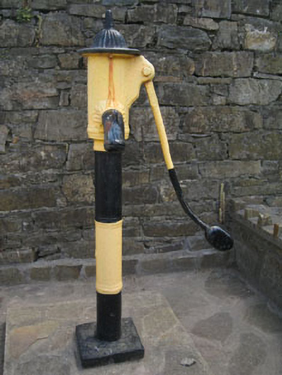 water pumpwater pump · 586 yd
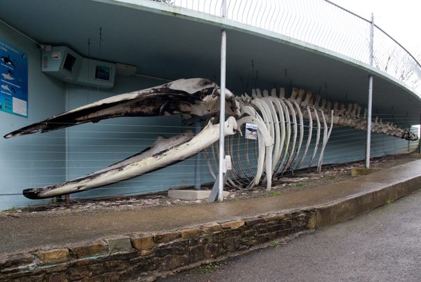 Kilbrittain WhaleHeritage attraction · 591 yd
 Kilbrittain Castlecastle/fortified house · 600 yd
 Kilbrittain WoodWood · 857 yd
 Quay WoodWood · 1356 yd
 Crois Na Leanbh MemorialMemorial · 1.6 mi
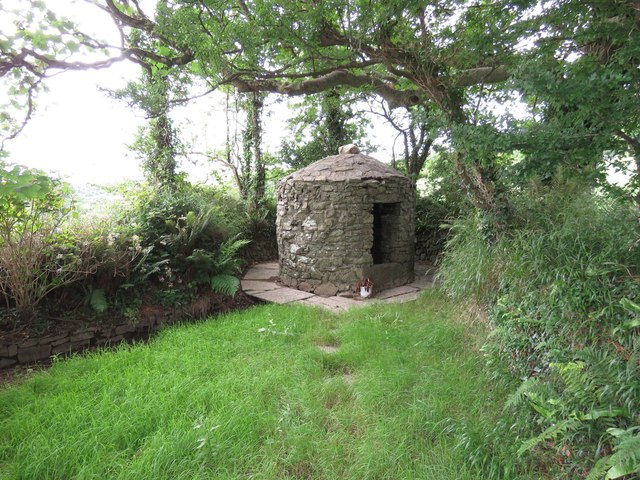 Trinity WellSpring · 1.6 mi
 Garranefeen StrandBeach / strand · 1.6 mi
 Flaxfort StrandBeach / strand · 2.2 mi
 Castle (in Ruins)Castle, tower house · 2.6 mi