What is recorded here
Sub-rectangular shaped graveyard (map dims. c. 52m x 42m) bounded on W side by roadway with church (LH012-014001-) in N half. Earliest headstone noted dates to 1770.
Compiled by: Claire Breen
Date of upload: 13 April 2012
The monument record does not grant public access. Check the route and ask the landowner before entering private land.
- What survives
- Recorded monument
Places near here
 Church (in Ruins)Church · 16 yd
 IndicatedCastle, unclassified · 172 yd
 CastleCastle, unclassified · 446 yd
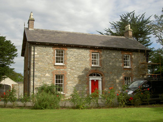 Seafield Househouse · 603 yd
 Enclosure in HaggardstownEnclosure · 931 yd
 SundialMonument · 968 yd
 Broad WoodForest · 1.2 mi
 Long WoodForest · 1.4 mi
 Louth County MuseumMuseum · 2.8 mi
 Bombing 1975Memorial · 2.8 mi
 Maid of ErinMemorial · 2.8 mi
 Photo GalleryHeritage attraction · 2.8 mi