
What is recorded here
On a NW-facing slope of rising pasture with good views from S through W to N with Slieveardagh Hills to W. Depicted as 'Old Graveyard' on the 1st (1840) ed. OS 6-inch map, it consists of a roughly circular-shaped enclosure (int. diam. 64m E-W; 70m NW-SE) defined by an earth and stone bank (top Wth. 2.3-3m; base Wth…
Read the whole record
From the National Monuments Service (Archaeological Survey of Ireland) record TS043-035
Places near here
Photo credits
- David Purchase, Geograph · Creative Commons Attribution-ShareAlike 2.0
- National Inventory of Architectural Heritage
- A.-K. D., Wikimedia Commons · CC BY-SA 4.0
- Maker not stated on source page, www.gettyimages.com.au
- Maker not stated on source page, tr.pinterest.com
- Mike Searle, Wikimedia Commons · CC BY-SA 2.0
- Maker not stated on source page, monumentalireland.ie
 Wellington MonumentMonument · 1028 yd
Explorer Tom Wellington Monument in Deerpark was built to look cool from one angle only, which is very rude of it. The first owner’s…
 icehouse1098 yd
Explorer Tom The Icehouse in Deerpark was buried under dirt to keep food cold for Kilcooly Abbey, which sounds lazy but effective.…
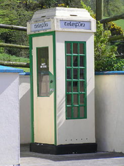 telephone box1300 yd
Explorer Tom Telephone box in Grangehill is a relic from before we carried bricks in our pockets. A fox once took charge of it, and…
 Grange Castle (in ruins)Castle, tower house · 1309 yd
Explorer Tom Grange Castle bragged about surviving a storm that only happened in its head. It’s a tower house with a concrete face…
 Aglish GraveyardCemetery · 1554 yd
Explorer Tom Legend has it a goat once ruled this Aglish Graveyard with an iron hoof and terrible breath. It ate all the nice moss…
 Kilcooly AbbeyBridge · 1656 yd
Explorer Tom Kilcooly Abbey is actually a bridge with dry arches, which makes it look like it forgot how to hold water entirely. If…
 rectory/glebe/vicarage/curate's house1.0 mi
Explorer Tom Rectory in Newtown claims to be older than the dirt beneath its feet, which is wild. It was built with church money and…
 Fairy fort / earthen ringfort in GarnagaleFairy fort / earthen ringfort · 1.2 mi
Explorer Tom Fairy fort / earthen ringfort in Garnagale hears gossip through its thick walls. The fairies are definitely talking…
 CastleCastle, tower house · 1.3 mi
Explorer Tom This tower house in Garryhiggin had a massive feud with the next village over something daft, probably about whose…
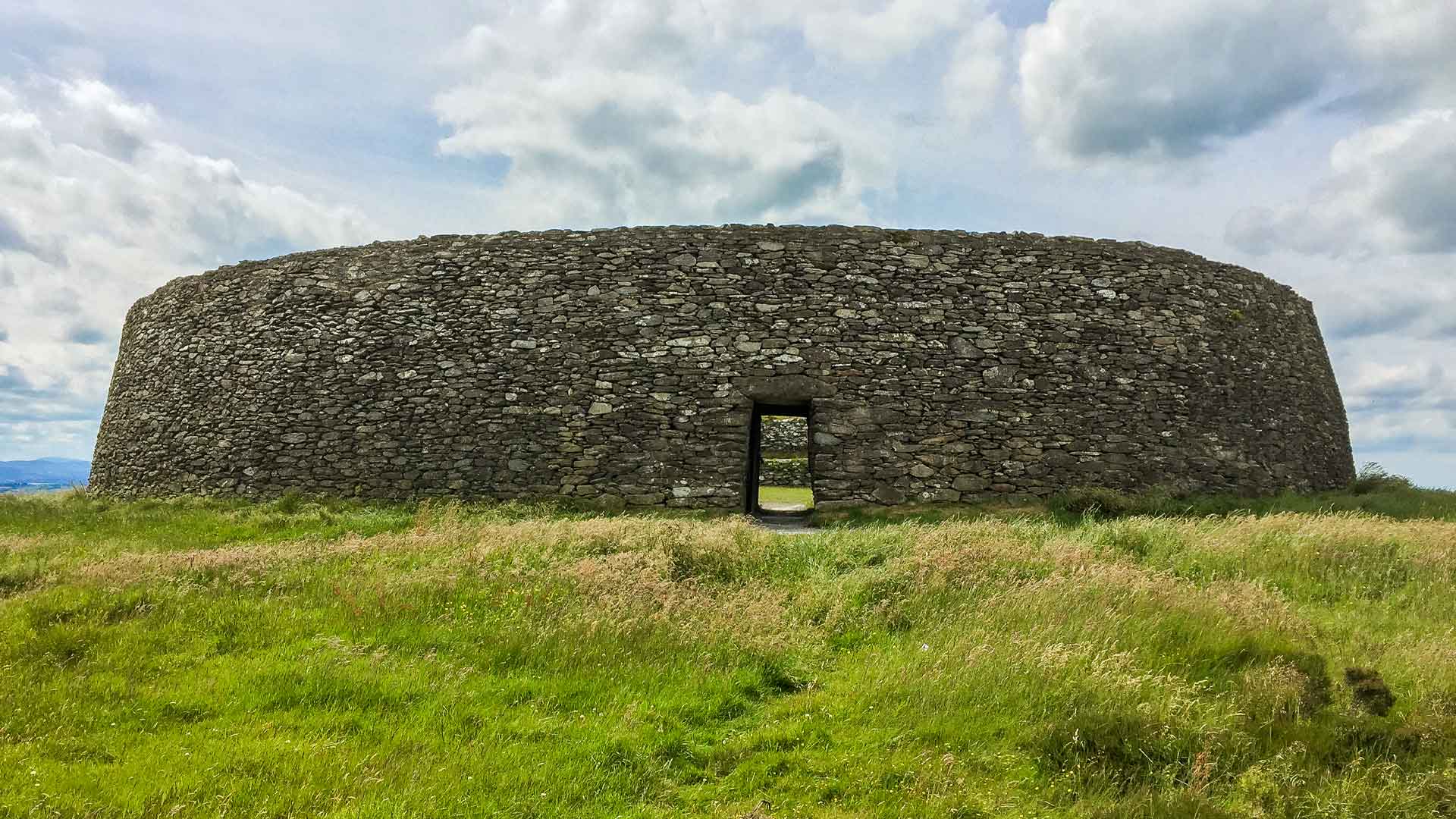 Fairy fort / earthen ringfort in MonablanchameenFairy fort / earthen ringfort · 1.5 mi
Explorer Tom Fairy fort / earthen ringfort in Monablanchameen has strict rules: no loud noises and absolutely no mud on its bank.…
 Lisduff BridgeBridge · 1.6 mi
Explorer Tom Lisduff Bridge in Ballynascarry is blaming the mapmakers for drawing it too small because it wants to look bigger in…
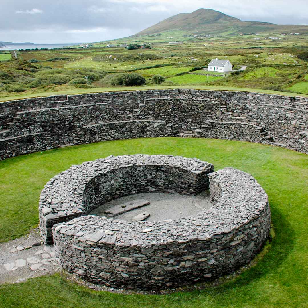 Garnagale Ringfort (rath)Archaeological place · 1.7 mi
Explorer Tom Garnagale Ringfort would tell its younger self to stop worrying so much about whether the stones are lined up…
More archaeology and monuments in County Tipperary · All of County Tipperary

What do you know about this place?Tap to add a comment or ask a question