What is recorded here
Prominently located at the S end of a low spur overlooking mixed pasture and tillage to E, S and W. A triangular area is defined along the roadside to S by a mortared stone wall (L c. 70m) facing a low earthen bank, by a gently curving wall (L c. 70m), which also acts as a townland boundary, along the W, and by a low hedged, earthen field bank (L c. 95m) along the E. The interior contains a ruined church (KD026-010----). The earliest legible grave markers date to the 18th-century and the graveyard is still in use. (http://www.kildare.co/Graveyard-Details.asp?ID=K019 Accessed 23 August 2012)
Compiled by: Gearóid Conroy
Date of upload: 24 August 2012
A portal dolmen; Neolithic period. Its prominent location suggests it may have had ritual or territorial significance in the landscape.
The monument record does not grant public access. Check the route and ask the landowner before entering private land.
- What survives
- Recorded monument
Places near here
 Church (in Ruins)Church · 6 yd
 Catholic Church of Our Lady of Victorieschurch/chapel · 978 yd
 Enclosure in Killeen WestEnclosure · 1.1 mi
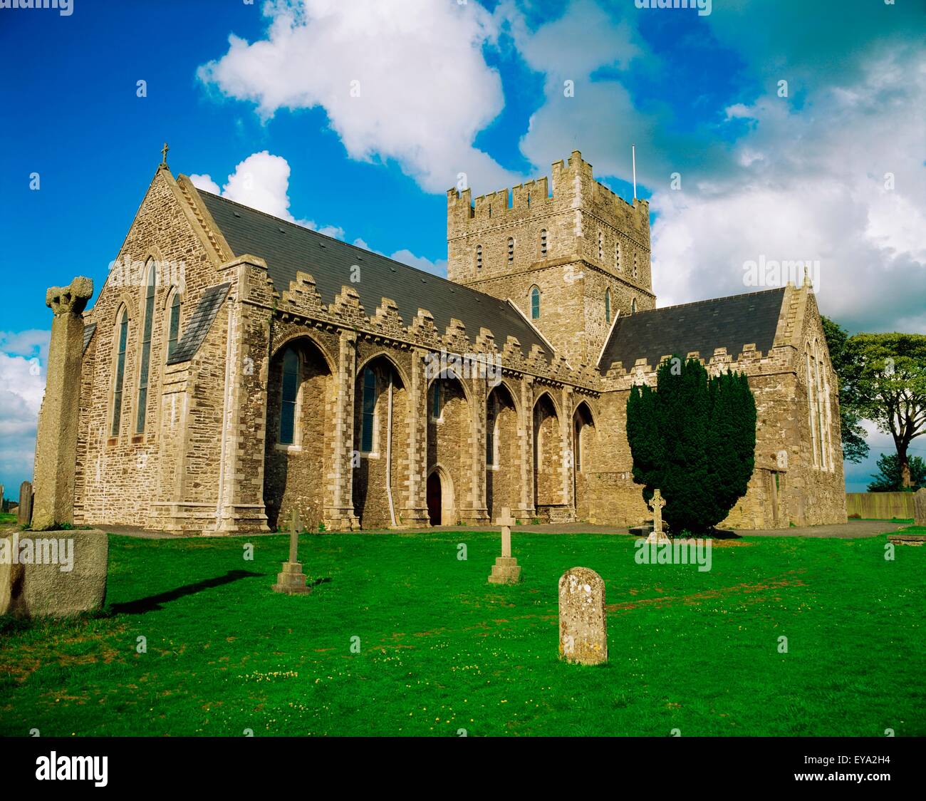 St. Bridgets WellHoly well · 1.3 mi
 Brookfield WoodWood · 1.4 mi
 Green's WoodForest · 1.8 mi
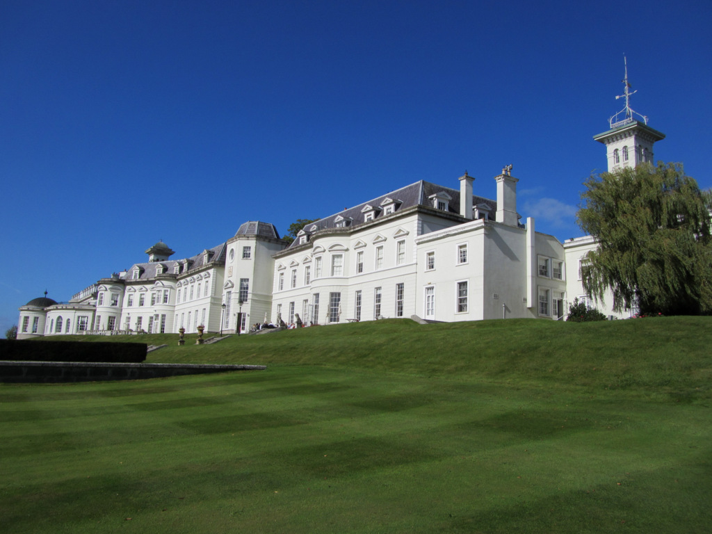 Cloney CastleCastle, unclassified · 3.0 mi
 Site of CastleCastle, unclassified · 3.1 mi
 Horse MuseumMuseum · 5.6 mi
 Japanese GardensHeritage attraction · 5.6 mi
 Bithia Mary CrokerMemorial · 8.2 mi
 Bog Lake WalkWalking route · 8.5 mi