What is recorded here
Situated on a steep E-facing slope down to the NW-SE River Slaney, c. 160m to the NE. The parish church of St Mary's, Enniscorthy (WX020-031004-) is within a subrectangular graveyard (dims. c. 55m E-W; c. 30-50m N-S) defined by masonry walls. Archaeological testing (02E0540) in the area S of the present graveyard demonstrated that the graveyard was once more extensive (Stafford 2004).
From the National Monuments Service (Archaeological Survey of Ireland) record WX020-031005
The monument record does not grant public access. Check the route and ask the landowner before entering private land.
- What survives
- Recorded monument
Places near here
Photo credits
- National Inventory of Architectural Heritage
- MikeWest Wexford, Wikimedia Commons · CC BY-SA 4.0
- George Cruikshank, Wikimedia Commons · Public domain
- Poleary91, Wikimedia Commons · CC BY-SA 4.0
- Colin Park, Geograph · CC BY-SA 2.0
 Saint Mary's Church (Saint Mary's Enniscorthy)Church/chapel · 7 yd
 office27 yd
 vent pipe43 yd
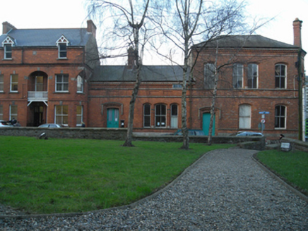 Saint Mary's Church InstituteChurch hall/parish hall · 44 yd
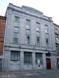 bank/financial institution55 yd
 Enniscorthy CastleMuseum · 101 yd
_p184_Defeat_at_Vinegar_Hill_(cropped).jpg/250px-MAXWELL(1845)_p184_Defeat_at_Vinegar_Hill_(cropped).jpg "Photo: George Cruikshank, Wikimedia Commons · Public domain") Battle of Vinegar HillMajor battlefield · 135 ydsite of AbbeyReligious house, Franciscan friars · 163 ydDuffry GateMemorial · 389 ydLe Tour De France en EnniscorthyMemorial · 425 yd
Battle of Vinegar HillMajor battlefield · 135 ydsite of AbbeyReligious house, Franciscan friars · 163 ydDuffry GateMemorial · 389 ydLe Tour De France en EnniscorthyMemorial · 425 yd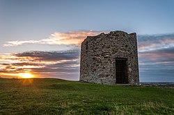 Windmill (in ruins)Windmill · 1081 yd
 Vinegar HillMountain / peak · 1106 yd
More archaeology and monuments in County Wexford · All of County Wexford
What do you know about this place?