What is recorded here
Situated on level ground at a break in a S/SW-facing slope. A rectangular graveyard (dims. 45m NE-SW; 40m NW-SE) defined by a modern stone wall. A fifteenth or sixteenth-century nave and chancel parish church (WI021-005001-) stands on the N side. A medieval graveslab (WI021-005003-) lies within the church and another (WI021-005005-) lies against the outer face of the E wall.
Revised by: Mary Tunney
Date of revision: 20 November 2012
The monument record does not grant public access. Check the route and ask the landowner before entering private land.
- What survives
- Recorded monument
Places near here
 Church (in Ruins), Grave Yd.Church · 19 yd
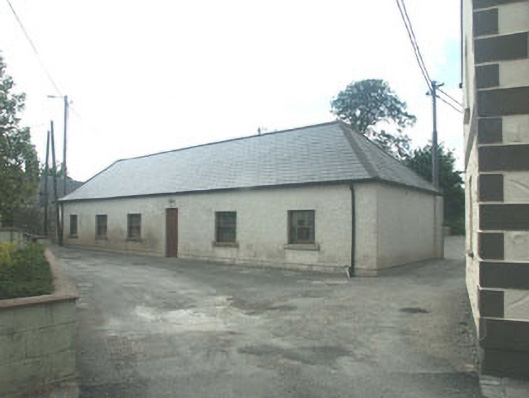 Donard National Schoolschool · 73 yd
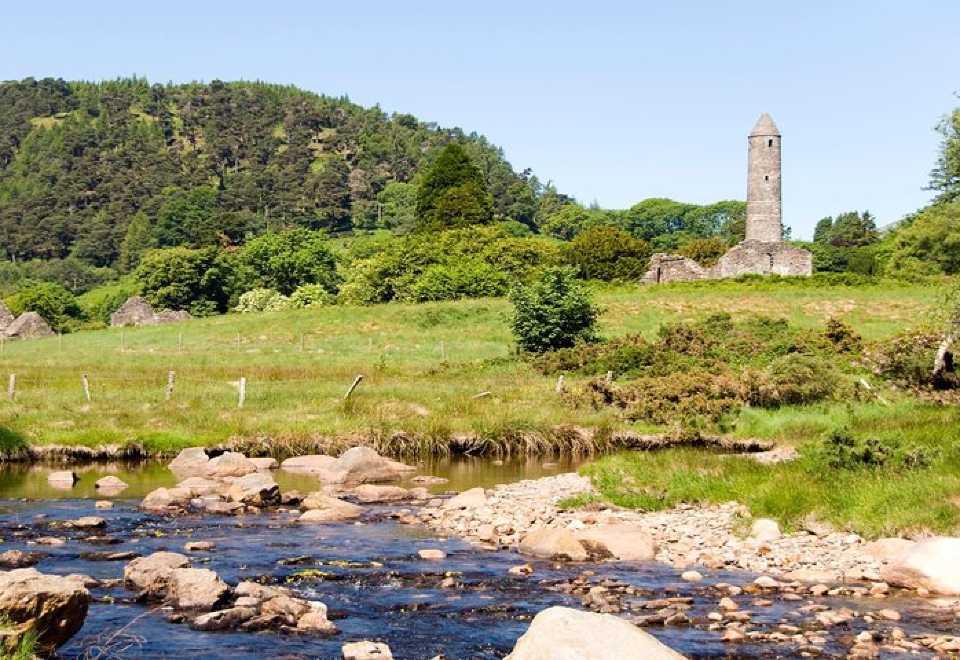 Ball MoatCastle, motte · 103 yd
 Pedunculate OakPedunculate Oak · 617 yd
 Enclosure in Donard LowerEnclosure · 792 yd
 Portal tomb in BroomfieldsPortal tomb · 1148 yd
 English hollyEnglish holly · 1.6 mi
 PinnacleMountain / peak · 1.8 mi
 Castleruddery MotteArchaeological place · 2.3 mi
 SugarloafMountain / peak · 2.4 mi
 Burial ground in CrehelpBurial ground · 3.6 mi
 Michael Dwyer MemorialMemorial · 3.6 mi