What is recorded here
Rectangular shaped graveyard indicated on 1835 'OS 6-inch' map (map dims. c. 62m N-S, c. 45m E-W) with remains of church (LH011-098001-) just N of centre.
Compiled by: Claire Breen
Date of upload: 11 April 2012
The monument record does not grant public access. Check the route and ask the landowner before entering private land.
- What survives
- Recorded monument
Places near here
 Church (in ruins)Church · 12 yd
 IndicatedGatehouse · 95 yd
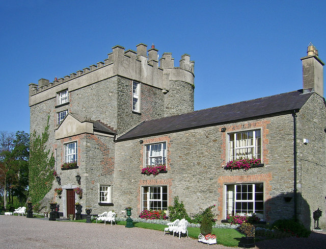 Bawn in DarverBawn · 103 yd
 Cave (Site of)Man-made underground passage · 118 yd
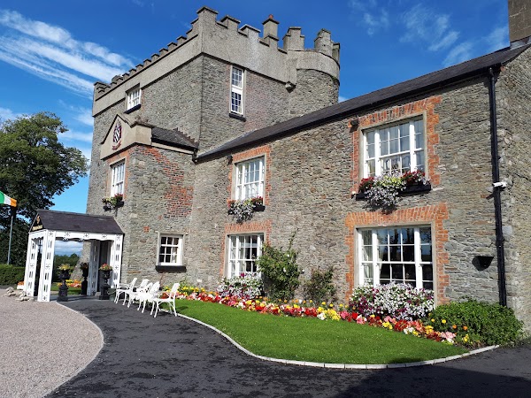 Darver CastleCastle · 173 yd
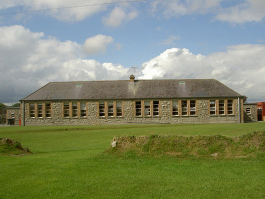 Darver National Schoolschool · 428 yd
 Rabbit BurrowWood · 1.9 mi
:no_upscale()/cdn.vox-cdn.com/uploads/chorus_asset/file/25593391/County_Louth_6th.jpg) LouthMountain / peak · 3.1 mi
LouthMountain / peak · 3.1 mi Long WoodForest · 3.1 mi
 Drummeenagh HillMountain / peak · 3.2 mi
 Graveyard in Richardstown (ardee By., Richardstown Par.)Graveyard · 5.0 mi
 Graveyard in StickillinGraveyard · 5.2 mi