What is recorded here
Situated on flat land with extensive views in all directions with Cloncrane House 60m to E. Poorly preserved remains of a nave and chancel church (OF019-004----) in the centre of a rectangular-shaped graveyard (approx. dims. 26m N-S x 43m E-W) containing memorials dating from the post-1700 period. The graveyard has been extended to the W in modern times. On the 1838 ed. OS 6-inch map the medieval church ruins are depicted standing in the centre of a small rectangular shaped graveyard the S boundary of which is formed by a public road running E-W.
Compiled by: Caimin O'Brien.
Date of upload: 23 May 2011
The monument record does not grant public access. Check the route and ask the landowner before entering private land.
- What survives
- Recorded monument
Places near here
 Church (in ruins)Church · 9 yd
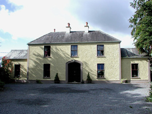 Cloncrane Housefarm house · 96 yd
 Sli na Slainte - mapVisitor information · 1.2 mi
 Enclosure in Derrymore (coolestown By.)Enclosure · 1.8 mi
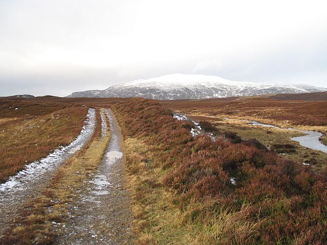 StructureStructure, peatland · 2.1 mi
 Allen family memorial headstoneMemorial · 2.4 mi
 Mountlucas Wind Farm Visitors CentreVisitor information · 4.4 mi
 Killinthomas Wood (Rathangan)Wood · 5.0 mi
 Raheenakeeran Castle (in ruins)Castle, unclassified · 5.1 mi
 Community OrchardNature reserve · 5.5 mi
 Cashlan BrockCastle, tower house · 5.6 mi
 Bithia Mary CrokerMemorial · 5.7 mi