What is recorded here
Remains of possible tower house constructed with large limestone blocks and set on limestone outcrop in slightly elevated position. E wall (L 11.3m) with slight base batter, three courses high. Part of S wall and N wall (L c. 11m, T c. 1.5m), no W wall. Collapse at SE and NE angles. (ITA Survey 1942).
From the National Monuments Service (Archaeological Survey of Ireland) record OF026-021
The monument record does not grant public access. Check the route and ask the landowner before entering private land.
- What survives
- Recorded monument
Places near here
Relic Grave Yard (Disused)Fairy fort / earthen ringfort · 686 ydRaheenakeeran Castle (in ruins)Castle, unclassified · 1061 yd Catholic Church of the Immaculate ConceptionChurch/chapel · 1233 ydforge/smithy1369 ydThe Lord's WellSpring · 1.0 miGhaugher HillMountain / peak · 2.7 miDerryounce Lakes & TrailsNature reserve · 3.2 miAllen family memorial headstoneMemorial · 3.3 miDerryounce Walk (Yellow Loop)Walking route · 3.6 miFather BurbageMemorial · 3.8 miDownan Grave YardGraveyard · 4.9 miLea Castle (in ruins)Castle, Anglo-Norman masonry castle · 5.9 mi
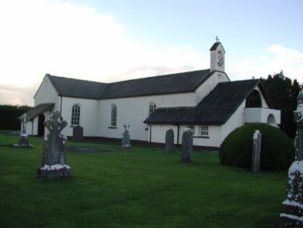 Catholic Church of the Immaculate ConceptionChurch/chapel · 1233 yd
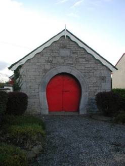 forge/smithy1369 ydThe Lord's WellSpring · 1.0 miGhaugher HillMountain / peak · 2.7 miDerryounce Lakes & TrailsNature reserve · 3.2 miAllen family memorial headstoneMemorial · 3.3 miDerryounce Walk (Yellow Loop)Walking route · 3.6 mi
 Father BurbageMemorial · 3.8 mi
 Downan Grave YardGraveyard · 4.9 mi
 Lea Castle (in ruins)Castle, Anglo-Norman masonry castle · 5.9 mi
Pictures: National Inventory of Architectural Heritage; Trenchspike, Wikimedia Commons · CC BY-SA 4.0; Kenneth Gallery Smyth, Geograph · Creative Commons Attribution-ShareAlike 2.0; Mike Searle, Wikimedia Commons · CC BY-SA 2.0
More castles and forts in County Offaly · All of County Offaly
What do you know about this place?