What is recorded here
Two stakes (Wth 0.33m; D 0.34m) on the field surface. The stakes (diam. 0.039-0.045m) and are 0.25m apart, set at 70-90° angles. One stake has a metal-cut wedge point. Recorded by the Irish Archaeological Wetland Unit (University College, Dublin) in 2002. The evidence is not sufficient to warrant its acceptance as the remains of an archaeological monument. The original survey description was compiled by the Irish Archaeological Wetland Unit (University College, Dublin). Assessed and revised by: Caimin O'Brien, Paul Walsh
Date of upload: 23 May 2011
From the National Monuments Service (Archaeological Survey of Ireland) record OF019-019
The monument record does not grant public access. Check the route and ask the landowner before entering private land.
- What survives
- Recorded monument
Places near here
StructureStructure, peatland · 1438 ydAllen family memorial headstoneMemorial · 1.6 mi Esker National SchoolSchool · 1.6 mifarm house1.7 miDownan Grave YardGraveyard · 2.1 miMountlucas Wind Farm Visitors CentreVisitor information · 2.3 miSite of CastleCastle, unclassified · 2.6 miSli na Slainte - mapVisitor information · 3.4 miVictoria PlantationWood · 4.5 miVictoria PlantationWood · 4.5 miBlundell Castle (in ruins)Castle, tower house · 6.3 miCroghan HillMountain / peak · 6.7 mi
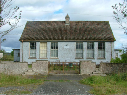 Esker National SchoolSchool · 1.6 mi
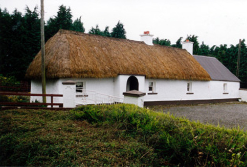 farm house1.7 mi
 Downan Grave YardGraveyard · 2.1 miMountlucas Wind Farm Visitors CentreVisitor information · 2.3 miSite of CastleCastle, unclassified · 2.6 miSli na Slainte - mapVisitor information · 3.4 miVictoria PlantationWood · 4.5 miVictoria PlantationWood · 4.5 mi
 Blundell Castle (in ruins)Castle, tower house · 6.3 mi
 Croghan HillMountain / peak · 6.7 mi
Pictures: National Inventory of Architectural Heritage; Kenneth Gallery Smyth, Geograph · Creative Commons Attribution-ShareAlike 2.0; Dougbermingham ( talk ) ( Uploads ), Wikimedia Commons · CC0; Sarah777 at en.wikipedia, Wikimedia Commons · Public domain
More archaeology and monuments in County Offaly · All of County Offaly
What do you know about this place?