What is recorded here
Not marked on any ed. of OS 6-inch map except for the 1910 and here it is shown as the SE section of a ditched enclosure. Not visible at ground level.
From the National Monuments Service (Archaeological Survey of Ireland) record OF020-001
The monument record does not grant public access. Check the route and ask the landowner before entering private land.
- What survives
- Recorded monument
Places near here
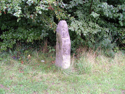 milestone/milepost1058 yd
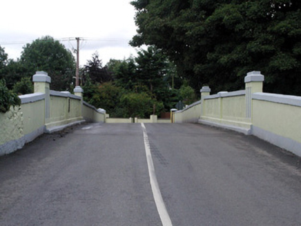 Saint Patrick's BridgeBridge · 1154 yd
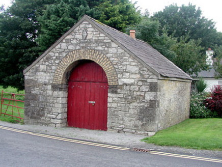 forge/smithy1171 ydSli na Slainte - mapVisitor information · 1174 ydAllen family memorial headstoneMemorial · 3.8 miSite of CastleCastle, tower house · 3.9 miBithia Mary CrokerMemorial · 4.0 mi
 Lea Castle (in ruins)Castle, Anglo-Norman masonry castle · 7.0 mi
 European Yew7.6 miEuropean Yew7.9 mi
 Round Tower9.4 mi
 St. Brigids CathedralCathedral · 9.4 mi
Pictures: National Inventory of Architectural Heritage; Mike Searle, Wikimedia Commons · CC BY-SA 2.0; Sitomon, Wikimedia Commons · CC BY-SA 2.0; Zairon, Wikimedia Commons · CC BY 4.0; 瑞丽江的河水, Wikimedia Commons · CC BY-SA 4.0
More archaeology and monuments in County Offaly · All of County Offaly
What do you know about this place?