
What is recorded here
Situated on flat land with extensive views in all directions. Poorly preserved remains of a nave (int. dims. 6m N-S; 9.4m E-W) and chancel (int. dims. 4m N-S ; 5m E-W; wall T 0.7m) church constructed with uncoursed large roughly shaped stones. No architectural features visible. Large breach (Wth 2m) in the N wall possibly belongs to destroyed door. Graveyard (OF019-004001-) contains 19th and 18th-century headstones with modern extension to W. Probable early medieval church.
Early medieval church built with limestone rubble. Nave (ext. dims. 10.75m E-W x 7.5m N-S) and narrower chancel (5.5m N-S x 5.6m E-W) apparently contemporary since there is no evidence to the contrary. No architectural features to be seen. Gap in W end of S wall probably represents remains of doorway.
A test excavation was carried out by John Kavanagh of Icon Archaeology Ltd under licence No. 08E0351 at a greenfield site (NGR 25906/22428) at Cloncreen, Clonbologue, Co. Offaly, prior to the construction of a single domestic dwelling opposite the site of a church and graveyard (OF019–004----). During the course of the excavation a single narrow gully and fire-spot were uncovered. These features were resolved under licence 08E0894 (Bennett 2011, 298). During the course of the excavation a single narrow gully and fire-spot were uncovered. Both features were cleaned, recorded and left in situ. No datable evidence was recovered (Bennett 2011, 298).
A test excavation was carried out by John Kavanagh of Icon Archaeology Ltd under licence No. 08E0893 at a greenfield site at Cloncreen, Clonbologue, Co. Offaly, prior to the construction of a house opposite the site of a church and graveyard (OF019–004). During the course of the test excavation a single plough furrow was uncovered. An excavation is scheduled for 2009 (Bennett 2011, 298).
The above description is derived from the published 'Archaeological Inventory of County Offaly' (Dublin: Stationery Office, 1997). In certain instances the entries have been revised and updated in the light of recent research.
Compiled by Caimin O'Brien
Date of upload/revision: 10 November 2011
A local church or high cross; wider significance not recorded.
The monument record does not grant public access. Check the route and ask the landowner before entering private land.
- What survives
- Recorded monument
Places near here
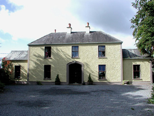 Cloncrane House, CLONEENfarm house · 105 yd
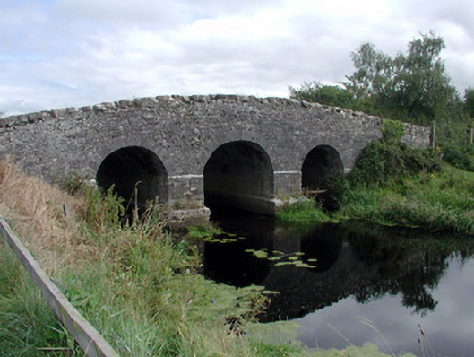 Cloncreen Bridge, CLONBULLOGE, CLONCREENbridge · 1610 yd
 Sli na Slainte - mapVisitor information · 1.2 mi
 Road, unclassified togher in Clonad (coolestown By.)Road, unclassified togher · 1.8 mi
 Enclosure in Derrymore (coolestown By.)Enclosure · 1.8 mi
 Allen family memorial headstoneMemorial · 2.4 mi
 Site of Castle, BallinrathCastle, unclassified · 2.8 mi
 Mountlucas Wind Farm Visitors CentreVisitor information · 4.4 mi
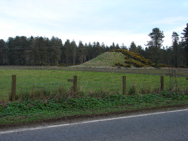 Mote, DrumcoolyCastle, motte and bailey · 4.5 mi
 Killinthomas Wood (Rathangan)Wood · 5.0 mi
 Community OrchardNature reserve · 5.5 mi
 Bithia Mary CrokerMemorial · 5.7 mi
Other information
Photo: Credit not shown in the picture search · Rights wording not checked; contact us if this picture should be removed