What is recorded here
Atop natural rise of ground in the centre of the village of Castletown-Geoghegan with motte and bailey castle (WM032-015----) 85m to the S, castle site (WM032-013----) 215m to the SW and the remains of Castle Kindalen (WM032-011----) 350m to the NW. A roughly D-shaped area (c. 80m NE-SW; c. 62m N-S) enclosed by a stone wall of post-1700 date with entrance gate at E and stone stile in W section of boundary wall. A 19th century C of I church ruins dedicated to St. Brigid forms a section of the graveyard boundary on the S side. A 19th century C of I graveyard is attached to the S side of St. Brigid’s Church which is enclosed by a stone wall adjoining onto the larger graveyard. On the highest ground in the N quadrant of the graveyard stands the poorly preserved remains of the medieval church (WM032-014003-) ruins of Vastina dedicated to the Blessed Virgin Mary with 17th century mortuary chapel (WM032-014001-) erected in the memory of the Wyer family located 6m W of the church. 18th and 19th century headstones can be seen throughout the graveyard which was heavily overgrown at time of inspection. Sub-circular shaped graveyard wall led to Swan (1988, 16) to suggest that the graveyard boundary may follow the line of an Early Christian ecclesiastical enclosure (WM032-011004-).
Compiled by: Caimin O’Brien
Date of upload: 5 March 2013
The monument record does not grant public access. Check the route and ask the landowner before entering private land.
- What survives
- Recorded monument
Places near here
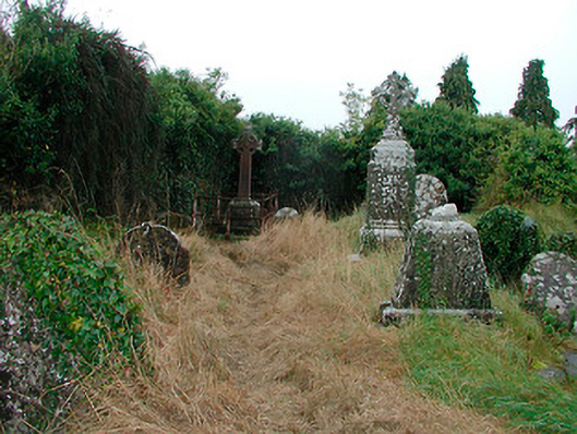 graveyard/cemeterygraveyard/cemetery · 3 yd
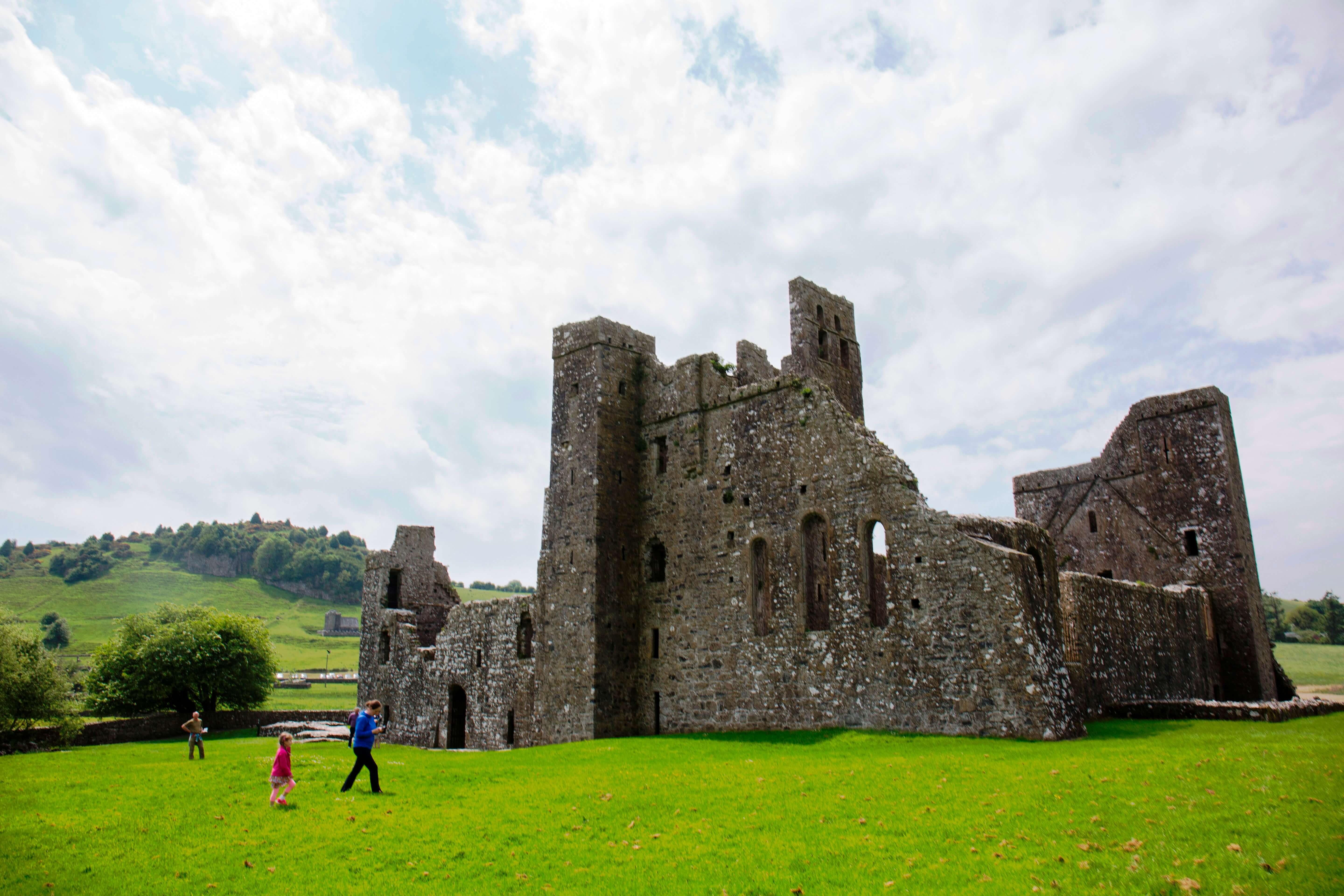 AbbeyChurch · 19 yd
 Castletown MoatCastle, motte and bailey · 157 yd
 Site of CastleCastle, tower house · 275 yd
 OutlinedEnclosure · 508 yd
 Ecclesiastical enclosure in Adamstown (moycashel By.)Ecclesiastical enclosure · 1342 yd
 Hill of UisneachMountain / peak · 4.4 mi
 Sam's ParkForest · 4.7 mi
 European ashEuropean ash · 4.8 mi
 Bonfire HillMountain / peak · 6.4 mi
 Kilmalady HillMountain / peak · 6.6 mi
 St. Columba's WellSpring · 8.2 mi