What is recorded here
Situated on a rise. The site of the parish church of Castle Ellis (WX027-012001-) is within a raised rectangular graveyard (dims. c. 60m E-W; c. 34m N-S) defined by masonry walls. St John's Well (WX027-013----) is c. 200m to the ESE.
Compiled by: Michael Moore
Date of upload: 17 July, 2012
The monument record does not grant public access. Check the route and ask the landowner before entering private land.
- What survives
- Recorded monument
Places near here
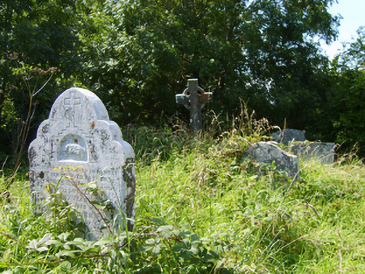 Castle-Ellis Church (Castle-Ellis)graveyard/cemetery · 5 yd
 1798 MonumentMemorial · 52 yd
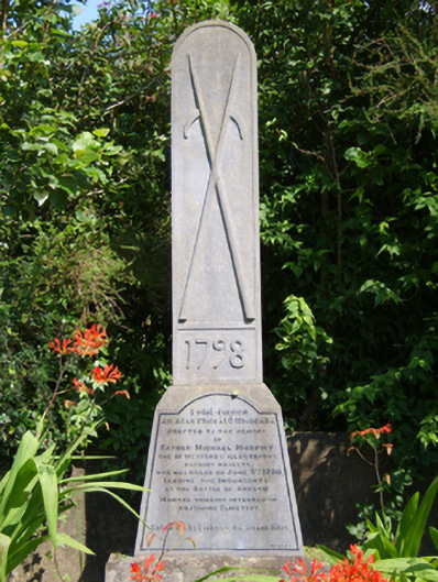 monumentmonument · 57 yd
 St. Johns WellHoly well · 236 yd
 IndicatedEnclosure · 775 yd
 Ballingowan MoteCastle, motte · 2.0 mi
 1916 MemorialMemorial · 2.2 mi
 Battle of Oulart Hill signVisitor information · 2.7 mi
 Oulart HillMountain / peak · 3.1 mi
 71Mountain / peak · 3.1 mi
 Embanked enclosureCastle, motte · 3.7 mi
 Blackwater Coastal Erosion Monitoring PointViewpoint · 3.9 mi