What is recorded here
Sub-rectangular graveyard (dims. c. 50m N-S; c. 33m E-W) immediately W of the abbey building, bounded by a stone wall. Indicated on the 1st (1840) ed. OS 6-inch map and on the OS 25-inch map as 'Grave Yd.'.
Compiled by: Jean Farrelly
Date of upload: 29 April 2014
The monument record does not grant public access. Check the route and ask the landowner before entering private land.
- What survives
- Recorded monument
Places near here
 Caher AbbeyHeritage attraction · 17 yd
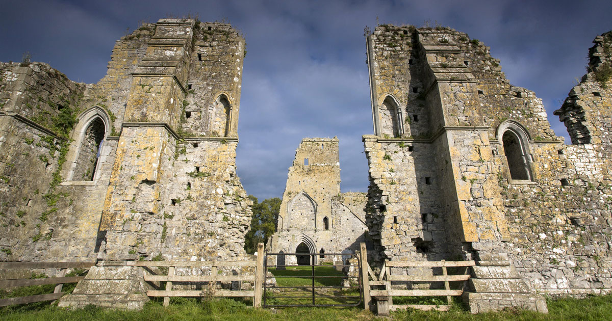 AbbeyReligious house, Augustinian canons · 18 yd
 Flour MillsMill, unclassified · 81 yd
 Ladys WellHoly well · 115 yd
 Siege of Cahir Castlesiege · 373 ydCahir CastleHeritage attraction · 615 yd
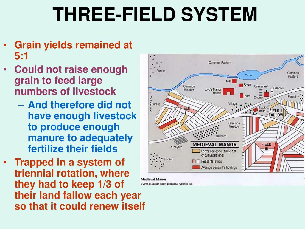 Field system in Caherabbey LowerField system · 913 yd
 Site of CastleCastle, unclassified · 1043 yd
 Pedunculate OakPedunculate Oak · 1.2 mi
 European YewEuropean Yew · 1.5 mi
 Bawn in CloghabreedyBawn · 1.7 mi
 Slieveanard NE TopMountain / peak · 2.8 mi