
What is recorded here
Situated on a S facing slope of rising ground in an upland area with a nearby motte (TN025-037----) to the W. Listed in the ecclesiastical taxation of the Diocese of Killaloe in 1302 (Cal. doc. Ire., 301). The Royal Visitation of 1615 described the building as 'a good church, a good chancell' (Murphy 1914, 219). All…
Read the whole record
From the National Monuments Service (Archaeological Survey of Ireland) record TN025-038003
Places near here
Photo credits
- Maker not stated on source page, commons.wikimedia.org
- Maker not stated on source page, en.wikipedia.org
- Maker not stated on source page, www.inkl.com
- Kmcnamee, Wikimedia Commons · CC BY-SA 4.0
- National Inventory of Architectural Heritage
- KevForkan, Wikimedia Commons · CC BY-SA 4.0
- P L Chadwick, Geograph · CC BY-SA 2.0
- Maker not stated on source page, www.dreamstime.com
- Discover Lough Derg, Wikimedia Commons · CC BY-SA 2.0
- Maker not stated on source page, www.pinterest.com
- Maker not stated on source page, www.ireland.com
 Burgess CemeteryCemetery · 23 yd
Explorer Tom Burgess Cemetery in County Tipperary would ace any job interview because it has excellent references and never…
 Fairy fort / earthen ringfort in CarriggalFairy fort / earthen ringfort · 1629 yd
Explorer Tom Fairy fort / earthen ringfort in Carriggal had a prophecy that it would float away, but it’s still stuck here. An old…
 Earthwork in Gortnaskehy (kilmastulla Par.)Earthwork · 1.2 mi
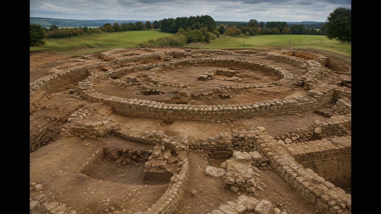
Explorer Tom Earthwork in Gortnaskehy plans to retire by becoming a hill because nobody can see it under the dense vegetation, so…
 Ballinahinch GAA pitchGAA ground · 1.9 mi
 Shallee Lead Mine WorksWorker's house · 2.5 mi
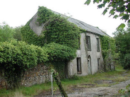
Explorer Tom Shallee Lead Mine Works first owner had an escape plan involving a cart full of lead ore and a very fast horse. The…
 Killaloe BridgeBridge · 4.3 mi
Explorer Tom Killaloe Bridge in Shantraud has thirteen arches, which is an odd number if you ask me, probably to confuse the fish.…
 Brian Boru Heritage CentreVisitor information · 4.4 mi
Explorer Tom Brian Boru Heritage Centre in County Clare is hiding a treasure chest inside the library that definitely contains…
 CastleCastle, unclassified · 4.4 mi
Explorer Tom Castle at Shantraud is proud of standing in the river near the flood-gates, which is either brave or very bad plumbing.…
Smith O'Briens GAA pitchGAA ground · 4.7 mi Brian Boru FortHeritage attraction · 4.8 mi
Explorer Tom Brian Boru's Fort is a grand name, and I would be the first to announce the king built every bank by hand. Archaeology…
 Swan IslandIslet · 5.6 mi
Explorer Tom Swan Island thinks its celebrity friend is a famous actor who got lost on location for a movie about birds. It waves at…
 Cormorant IslandsIslet · 5.6 mi
Explorer Tom Cormorant Islands in County Clare has clearly misplaced its sense of direction, showing up where a cormorant would…
More archaeology and monuments in County Tipperary · All of County Tipperary

What do you know about this place?Tap to add a comment or ask a question