What is recorded here
On raised ground on summit of hill in undulating pasture-land. Church (TS076-016002-) roughly centrally placed within graveyard. Laneway from road which runs roughly N-S to W of church, provides access to graveyard. Entered at S end of W side of polygonal graveyard (dims. 48m N-S; 56m E-W). Graveyard may formerly have been more circular in shape as a curving bank (Wth 1.3m crest, 2.6m base; H above int. 0.75m; H above ext. 0.67m) survives outside the present NW boundary (dims. of additional area 13m N-S; 35.5m roughly E-W) with a entrance (Wth 2.1m) in NW. This is clearly visible on aerial photographs (ASIAP (36) 23 and 25). According to the OS Letters (O'Flanagan 1930, vol. 2, 140-41) 'there is here still a burial ground, not enclosed, with a stone wall'. There are a number of 18th-century headstones in the graveyard, the earliest legible dates to 1737 and is S of the W end of the church. E of the church there is a 16th/17th-century graveslab (TS076-016005-).
Compiled by: Jean Farrelly
Date of upload: 26 August 2011
The monument record does not grant public access. Check the route and ask the landowner before entering private land.
- What survives
- Recorded monument
Places near here
 Ballyclerahan Church (in ruins)Church · 12 yd
 Settlement desertedSettlement deserted, medieval · 45 yd
 Old BallyclerihanArchaeological place · 266 yd
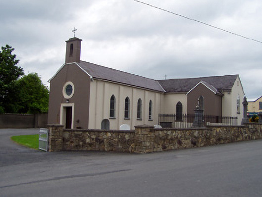 Saint Michael's Catholic Churchchurch/chapel · 1632 yd
 CastleCastle, unclassified · 1.3 mi
 Pedunculate OakPedunculate Oak · 1.3 mi
 BatteryBawn · 1.4 mi
 European YewEuropean Yew · 4.9 mi
 Grubb's IslandIslet · 5.3 mi
 Francis HopkinsMemorial · 5.3 mi
 Merchant's HouseVisitor information · 5.3 mi
 John HackettMemorial · 5.3 mi