What is recorded here
Situated on the floodplain of Ballydonnel Brook. Semicircular enclosure (dims. 85m E-W; 50m N-S) defined by a stony bank (W lm; H 0.5m) and an external fosse (Wth 2m; D lm), possibly a field drain. A small triangular area (dims. 35m E-W; 15m N-S) on the NE side is separated by a shallow fosse and contains a standing stone (WI006-012002-). There are no other internal features or indication of a church or graves. Starting at the S edge of the site a wide (Wth 7m) raised trackway crosses the low-lying marshy terrain along the floor of the Liffey Valley (100m to the SE).
The above description is derived from the published 'Archaeological Inventory of County Wicklow' (Dublin: Stationery Office, 1997). In certain instances the entries have been revised and updated in the light of recent research.
Date of upload/revision: 17 December 2008
The monument record does not grant public access. Check the route and ask the landowner before entering private land.
- What survives
- Recorded monument
Places near here
 IndicatedEcclesiastical enclosure · 1 yd
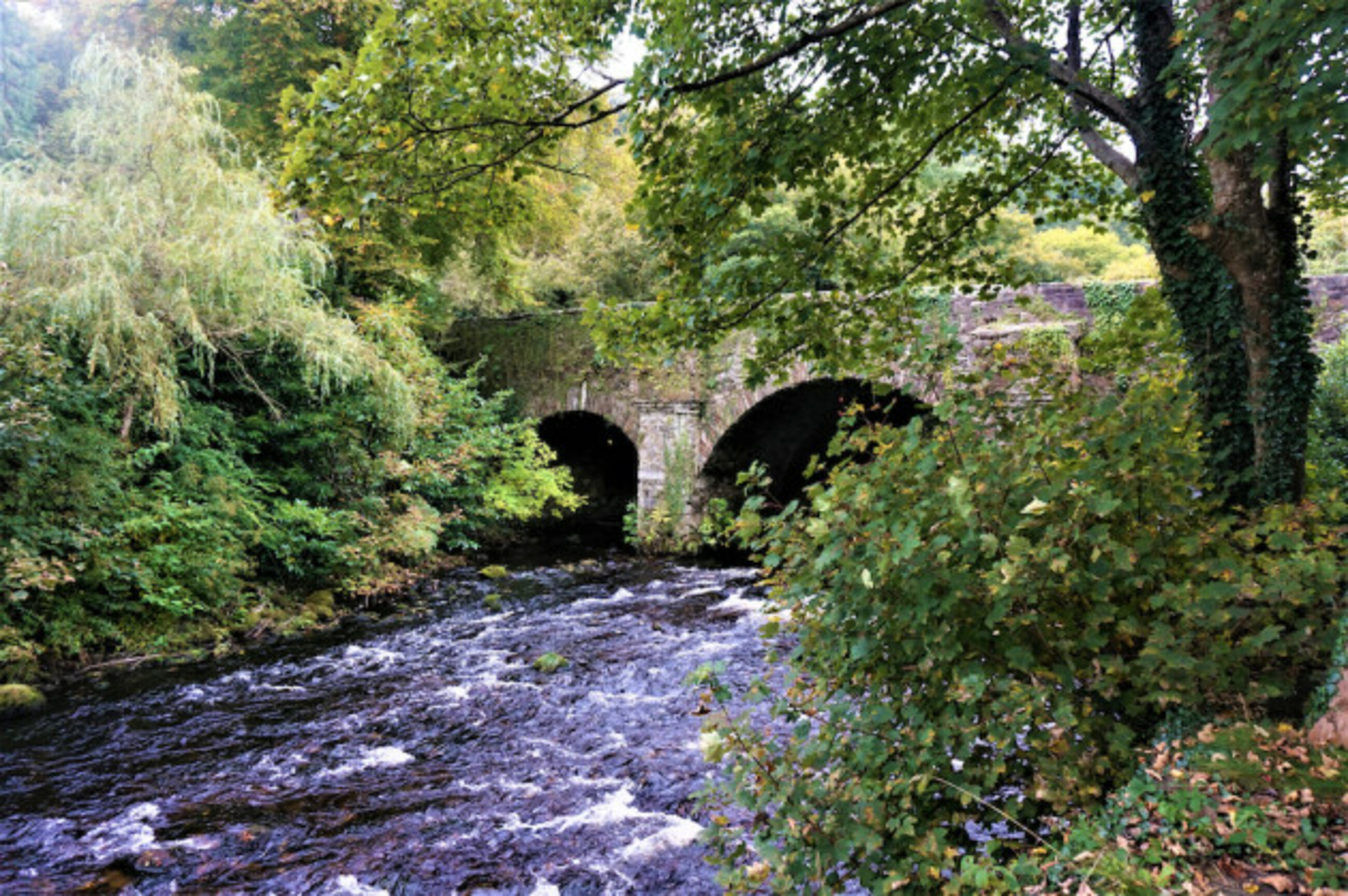 Athdown MoatCastle, motte · 581 yd
 Enclosure in AthdownEnclosure · 844 yd
 Scots PineScots Pine · 1.5 mi
 SeefinMountain / peak · 1.5 mi
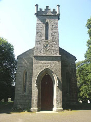 Saint John's Church (Kilbride)church/chapel · 1.7 mi
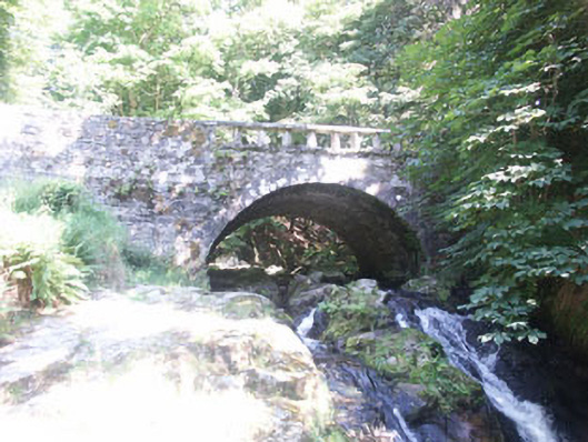 Cloghleagh Bridgebridge · 1.7 mi
 Sorrel HillMountain / peak · 1.8 mi
 Coronation PlantationWood · 2.3 mi
 OldcourtMemorial · 2.4 mi
 Site of CastleCastle, unclassified · 2.6 mi
 Lacken – Mass Path LoopWalking route · 3.3 mi