What is recorded here
Reference to disused graveyard here (O'Hanlon and O'Leary 1907, vol. 1, 294). No visible surface remains. In the nineteenth century it was described as Kylemahoe with its disused graveyard and site of an old church (LA014-022001-) (O'Hanlon and O'Leary 1907, vol. 1, 294). The cropmark of an enclosure (LA014-022003-) is visible around the site on aerial photograph (CUCAP, AYN 17) but no visible surface evidence survives.
The above description is derived from the published 'Archaeological Inventory of County Laois' (Dublin Stationery Office, 1995) compiled by P. David Sweetman, Olive Alcock and Bernie Moran. In certain instances the entries have been revised and updated in the light of recent research.
Date of upload: 17 December 2007
The monument record does not grant public access. Check the route and ask the landowner before entering private land.
- What survives
- Recorded monument
Places near here
 Site of Kylemahoe ChurchChurch · 21 yd
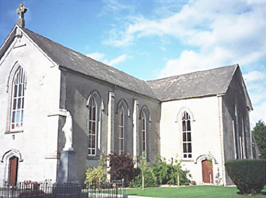 Catholic Church of the Assumptionchurch/chapel · 464 yd
 Vicarstown National Schoolschool · 504 yd
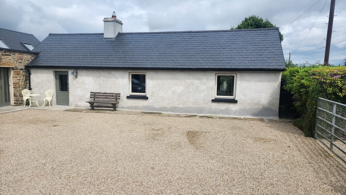 Enclosure in RaheenaniskaEnclosure · 1466 yd
 Site of Ballymanus CastleCastle, unclassified · 1.1 mi
 OutlinedCastle, unclassified · 2.0 mi
 Black WalnutBlack Walnut · 2.7 mi
 Pedunculate OakPedunculate Oak · 3.4 mi
 CEMETERYGraveyard · 3.6 mi
 Beech Way WalkWalking route · 3.6 mi
 Mass RockNamed rock · 3.8 mi
 Oughaval Wood MapVisitor information · 3.8 mi