
Places near here
Photo credits
- The Speckled Bird, Wikimedia Commons · CC BY-SA 4.0
- Kmcnamee, Wikimedia Commons · CC BY-SA 4.0
- National Inventory of Architectural Heritage
- Mountcollins GAA club fundraising page / SmartLotto; individual photographer not stated, smartlotto.ie
 Tullylease Church (in ruins)Church · 1 yd
Explorer Tom Tullylease Church is the remains of a parish church that was listed in 1291 and abandoned by 1694. It’s got a nave and…
 Tullylease GAA pitchGAA ground · 519 yd
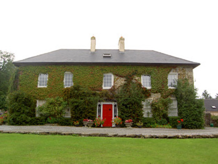 Tullylease HouseCountry house · 1063 yd
Explorer Tom Tullylease House in Tullylease, County Cork, was the seat of the Sullivan family and has a Greek Revival doorcase that…
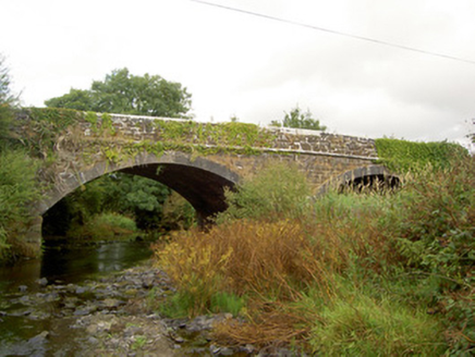 Raheen BridgeBridge · 2.0 mi
Explorer Tom Raheen Bridge in Muckenagh has a finely executed limestone finish that would make a mason weep with joy or envy. It…
Dromcollogher/Broadford GAA pitchGAA ground · 2.1 mi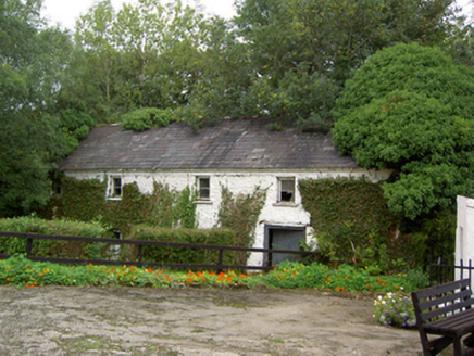 Coolbane MillMill (water) · 2.2 mi
Explorer Tom Coolbane Mill has a cast-iron wheel that looks like it’s about to start spinning again. Built in 1850, it ground corn…
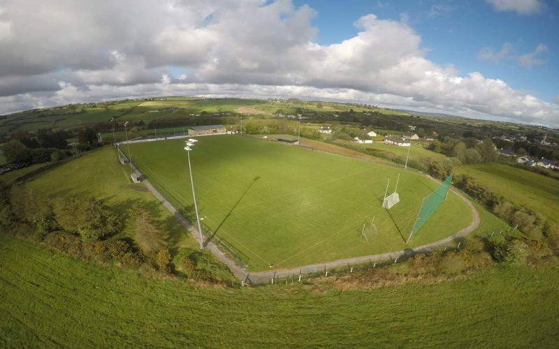 Mountcollins GAA pitchGAA ground · 2.4 miFreemount GAA pitchGAA ground · 3.5 miDeel Rovers GAA pitchGAA ground · 4.1 mi
 Saint Joseph's ChurchChurch/chapel · 5.3 mi
Explorer Tom Saint Joseph's Church in Knockduff Upper was built in 1837 with stones from nearby Meelin Quarry. It’s got…
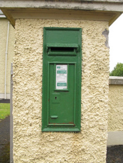 post box6.0 mi
Explorer Tom Post box in Raheenagh hosted a dance where a vicar tripped over his own feet and broke a vase. The royal crown got…
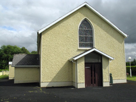 Saint Ita's Catholic ChurchChurch/chapel · 6.0 mi
Explorer Tom Saint Ita's Catholic Church saw the whole parish argue about which side of the road was better for parking the priest’s…
More archaeology and monuments in County Cork · All of County Cork

What do you know about this place?Tap to add a comment or ask a question