
What is recorded here
On a pronounced bluff between the steeply sloping S side of the Nore river valley and the broad plateau to the S, in grassland. A stream runs along the SE boundary flowing c. 900m to the NE to meet the Nore. A medieval church (KK014-056001-) and probably associated residential tower (KK014-056003-) are located in the…
Read the whole record
From the National Monuments Service (Archaeological Survey of Ireland) record KK014-056002
Places near here
Photo credits
- Maker not stated on source page, fi.pinterest.com
- Maker not stated on source page, uk.pinterest.com
- Maker not stated on source page, www.dreamstime.com
- National Inventory of Architectural Heritage
- Maker not stated on source page, commons.wikimedia.org
- Maker not stated on source page, ca.pinterest.com
- 2ManyCats4Me, Wikimedia Commons
- Maker not stated on source page, en.topwar.ru
- Andy Ryan / 1803 Productions, credited by Kilkenny GAA, kilkennygaa.ie
- Maker not stated on source page, irishtravelhub.com
- Maker named on the Wikimedia Commons picture page · CC BY-SA 3.0
 Thornback Road CemeteryCemetery · 6 yd
Explorer Tom Thornback Road Cemetery has a family tree mostly made up of people who never actually existed but were very popular at…
 Church (in ruins)Church · 14 yd
Explorer Tom Church in Troyswood is sitting on a bluff and has very strong opinions about modern building standards. It thinks your…
 CastleCastle, motte · 251 yd
Explorer Tom Castle in Troyswood has a curse that only affects people who don't wave when they pass by, so make sure you raise your…
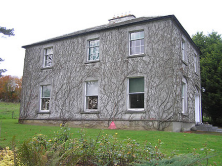 Troyswood HouseHouse · 1121 yd
Explorer Tom Troyswood House has made a New Year's resolution to stop being so fancy because it’s tired of everyone staring at its…
 Dunmore Graveyard (old)Cemetery · 1227 yd
Explorer Tom Dunmore Graveyard refuses to fall down because it’s too proud to admit it’s tired, which is a level of stubbornness I…
 Church (Site of)Church · 1227 yd
Explorer Tom Church in Dunmore has a ridiculous smuggling story about cheese moving through the Nore valley. The church was…
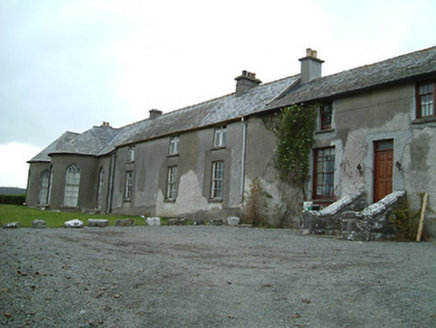 Dunmore CottageHouse · 1692 yd
Explorer Tom Dunmore Cottage is basically the Butler family’s summer hangout that still smells faintly of 1700s palatial grandeur…
 Kilkenny Countryside ParkPark · 1744 yd
Explorer Tom Kilkenny Countryside Park has pulled off a trick that would make a stage magician check his pockets: this green stretch…
 Enclosure in Deerpark (crannagh By.)Enclosure · 1.3 mi
Explorer Tom Enclosure in Deerpark is where Saint Patrick went to hide from his own legend and the sheer amount of paperwork…
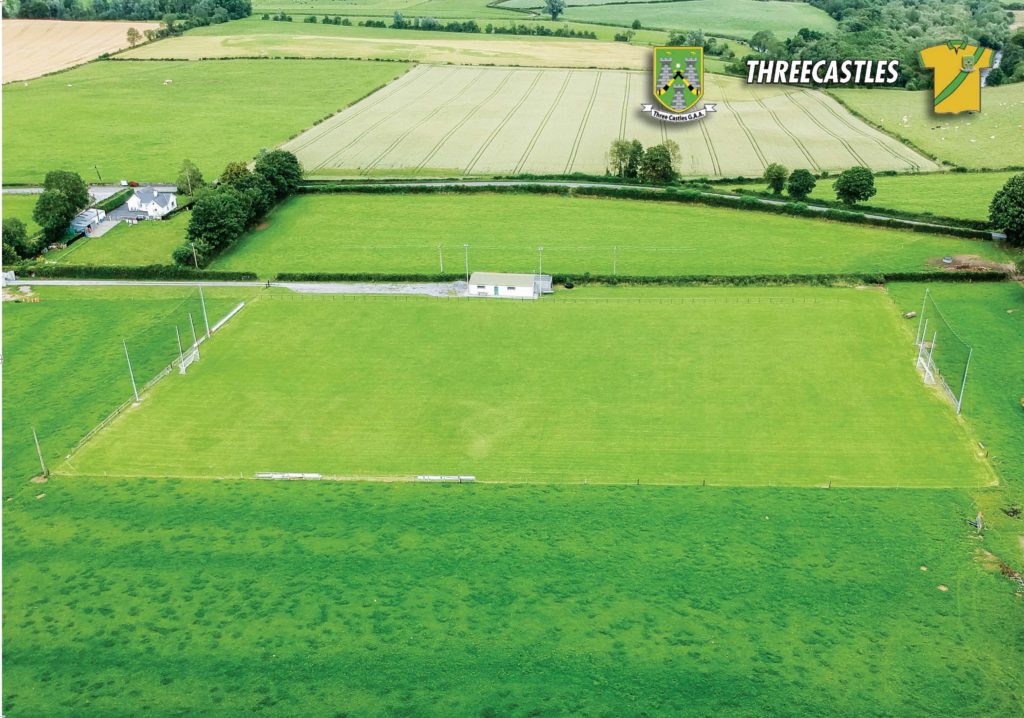 Threecastles GAA PitchGAA ground · 1.5 mi
 Ardaloo CastleArchaeological place · 1.6 mi
Explorer Tom Ardaloo Castle in County Kilkenny is playing possum, hiding so deep you’d need a microscope to spot its ghost. It’s got…
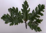 Turkey Oak1.9 mi
Explorer Tom Turkey Oak in County Kilkenny holds a fake world record for being the most confused tree in Ireland, having been…
More archaeology and monuments in County Kilkenny · All of County Kilkenny

What do you know about this place?Tap to add a comment or ask a question