What is recorded here
Situated on a slight rise in a low-lying landscape. This is a D-shaped burial ground (dims 62m NE–SW; 45m NW–SE) defined by a straight stone-clad NE-SW earthen bank on the roadside at NW and a curved stone-clad earthen bank and hedge elsewhere. There is no knowledge of any church and no visible remains of such a structure at ground level. It is said locally that the dead from a battle (WX011-076----) on the road on June 4, 1798 are buried here, and that might be the origin of the burial ground. On that day the rebels attacked a column of about 400 soldiers under Col. Walpole from the rock outcrop c. 200m to the N where St. Mog's Chair (WX011-075----) is situated. The military losses were great, including the loss of their weapons and three cannons (Pakenham 1997, 181-3).
The above description is derived from the published 'Archaeological Inventory of County Wexford' (Dublin: Stationery Office, 1996). In certain instances the entries have been revised and updated in the light of recent research.
Compiled by: Michael Moore
Date of upload/revision: 12 April, 2012
Amended: 30 January, 2014
The monument record does not grant public access. Check the route and ask the landowner before entering private land.
- What survives
- Recorded monument
Places near here
 Ritual siteRitual site, holy/saint's stone · 326 yd
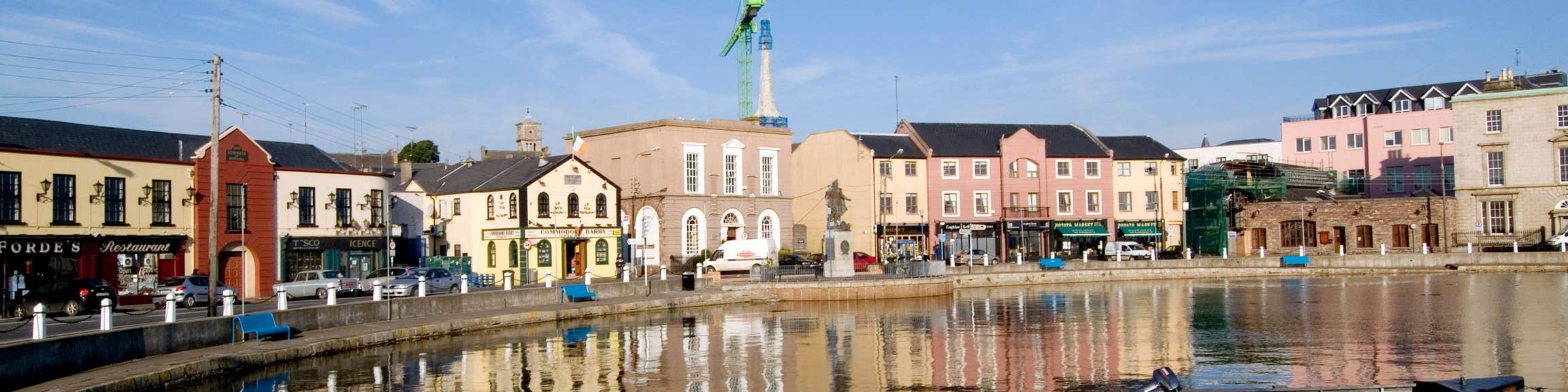 Fulacht fia in CloghFulacht fia · 946 yd
 farm housefarm house · 1520 yd
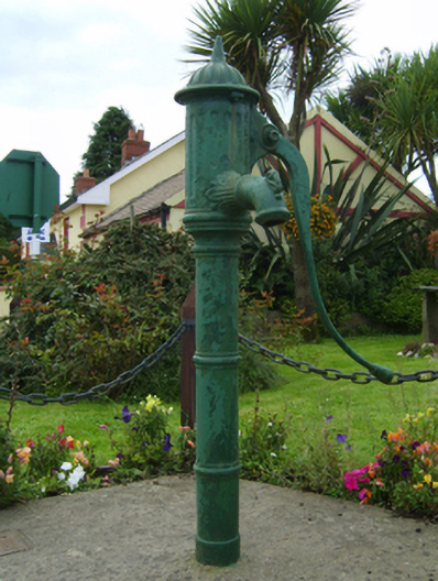 water pumpwater pump · 1619 yd
 Barnadown WoodWood · 1.3 mi
 Boley HillMountain / peak · 2.0 mi
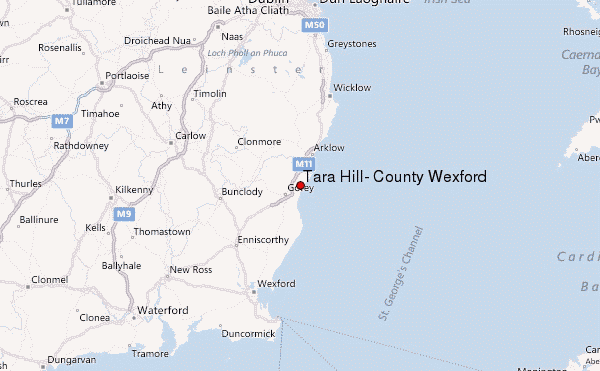 Ballyminaun HillMountain / peak · 2.0 mi
 1798 MonumentMemorial · 3.6 mi
 Giants BedNamed rock · 3.7 mi
 Market HouseHeritage attraction · 3.9 mi
 Camolin WoodForest · 4.3 mi
 Saint Brigid's WellSpring · 5.8 mi