What is recorded here
In undulating pasture with land rising to the S, the graveyard is on relatively level ground which falls beyond the graveyard to the NW. The church (TS068-001001-) is located along the N boundary of this rectangular graveyard (dims. 33m N-S; 43.7m E-W). The graveyard is enclosed by a stone wall with the entrance on the S side. There are 18th, 19th and 20th century headstones in evidence in the graveyard which appears to have been last used in the 1950s. The S wall of the graveyard originally extended further to the W by c. 18m, as is visible on an aerial photograph (CUCAP 10 July 1969, AYO 51) and then is visible running northward for c. 46m before petering out, though on the aerial photograph the boundary appears to run in a straight line down to a natural pond, c. 100m to the E. It is apparent as a low, broad bank (Wth 3.2m crest; 5.8m base; H above int. 0.15m; H above ext. 0.22m).
Compiled by: Jean Farrelly
Date of upload: 26 August 2011
The monument record does not grant public access. Check the route and ask the landowner before entering private land.
- What survives
- Recorded monument
Places near here
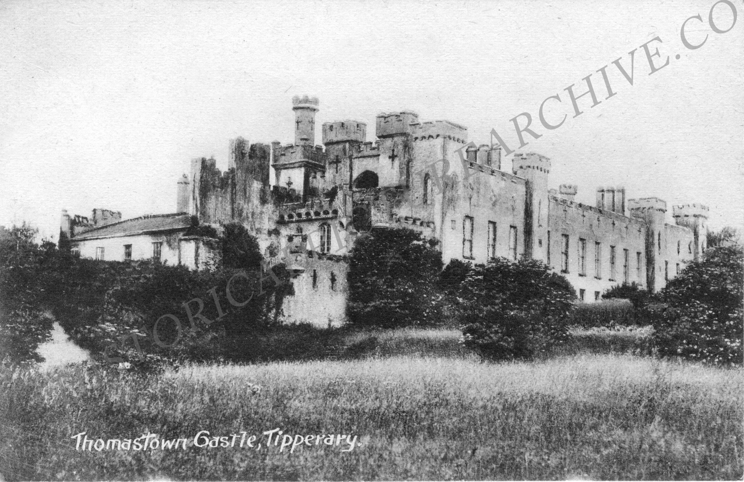 Thomastown Church (in ruins)Church · 16 yd
 Enclosure in Thomastown Demesne NorthEnclosure · 194 yd
 CastleCastle, ringwork · 750 yd
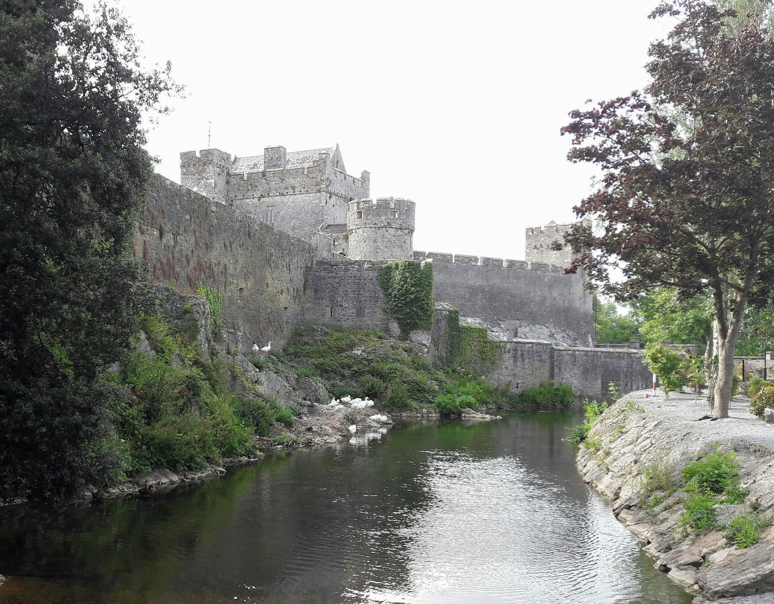 Ballymacady CastleCastle · 1009 yd
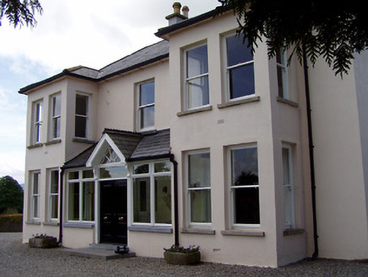 Rathduff Househouse · 1093 yd
 IndicatedEnclosure, large enclosure · 1305 yd
 Athassel PrioryHeritage attraction · 2.3 mi
 European ashEuropean ash · 2.6 mi
 Bansha ForestForest · 4.1 mi
 I.R.A. 3rd. Tipperary Brigade MemorialMemorial · 4.5 mi
 The RockViewpoint · 5.8 mi
 SturrakeenMountain / peak · 6.3 mi