
What is recorded here
On a gradual SW-facing slope in reclaimed pastureland. On an aerial photograph (CUCAP 10 July 1969, AYO 51) there is a large irregular enclosure c. 165m NNE of the church (TS068-001001-) and graveyard (TS068-001003-) at Thomastown. This enclosure, and other undulations surrounding the enclosure which are visible on the aerial photograph but form no distinctive pattern, are no longer visible above ground. The field boundaries between the church and the enclosure which appear on the aerial photograph have also been removed and the area forms one large open field, as depicted on the 1900-05 ed. OS 6-inch map.
Compiled by: Jean Farrelly
Date of upload: 26 August 2011
The monument record does not grant public access. Check the route and ask the landowner before entering private land.
- What survives
- Recorded monument
Places near here
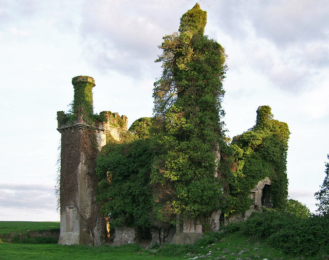
 Thomastown Church (in ruins)Church · 181 yd
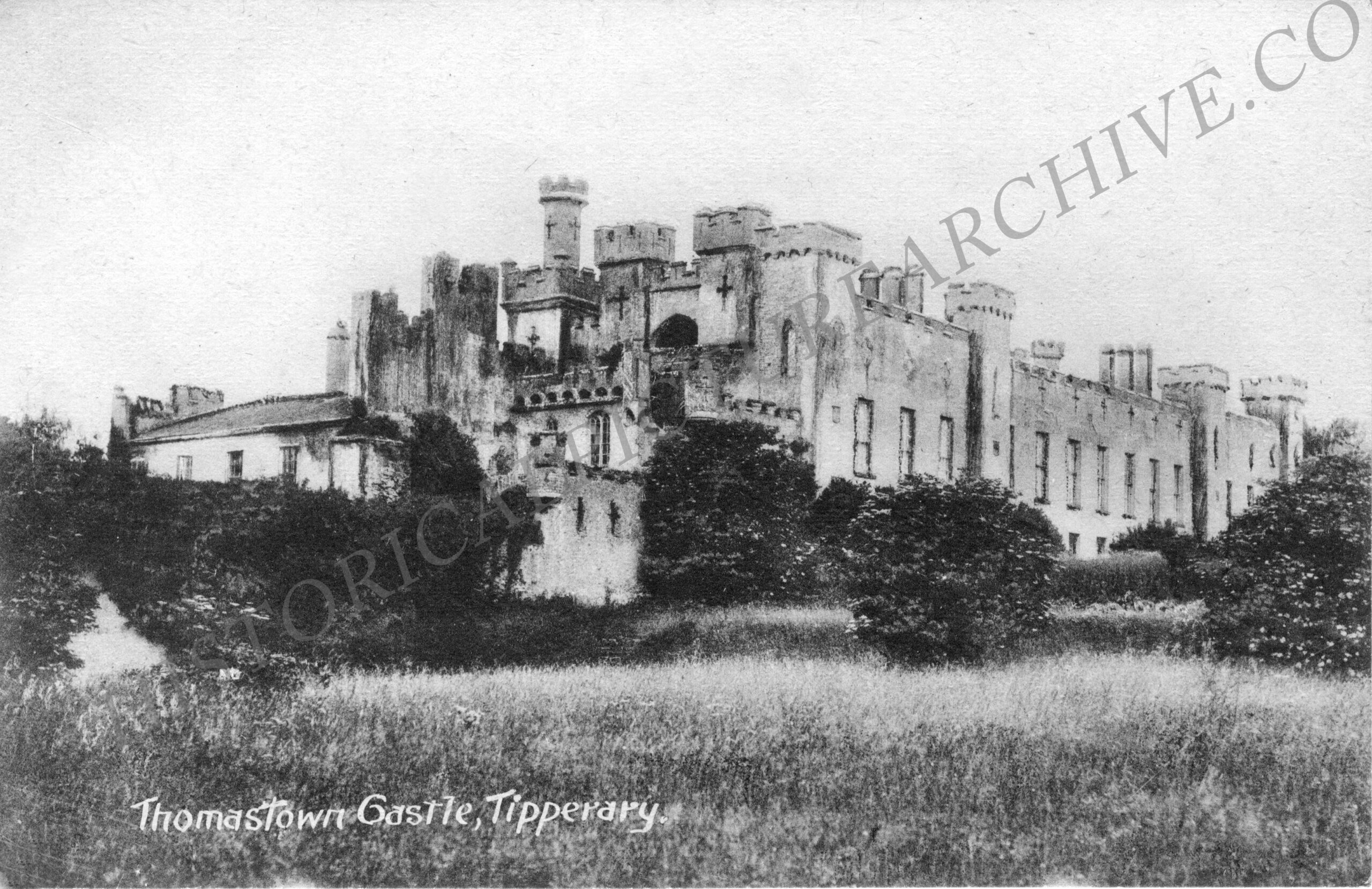
 Thomastown CastleCastle · 863 yd
 CastleCastle, ringwork · 927 yd
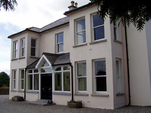 Rathduff Househouse · 1137 yd
 IndicatedEnclosure, large enclosure · 1263 yd
 Enclosure in Thomastown Demesne SouthEnclosure · 1650 yd
 Athassel PrioryHeritage attraction · 2.3 mi
 European ashEuropean ash · 2.6 mi
 Bansha ForestForest · 4.1 mi
 I.R.A. 3rd. Tipperary Brigade MemorialMemorial · 4.5 mi
 The RockViewpoint · 5.8 mi
 SturrakeenMountain / peak · 6.4 mi
Other information
Photo: Credit not shown in the picture search · Rights wording not checked; contact us if this picture should be removed