What is recorded here
The parish church of Taghboy (RO044-079001-) is at the N edge of a D-shaped graveyard (dims c. 50m E-W; c. 30m N-S) with the straight side at N defined by masonry walls, which are on the remains of an earthen bank E-S. A shallow fosse (Wth of top 4-12m; D 0.2-0.9m) can be traced NE-S on the E side of a NNE-SSW public road, while traces of the bank can be detected W-NW, creating an ecclesiastical enclosure (RO044-079004-). the graveyard has been extended to the S (dims c. 75m NNE-SSW; c. 45m WNW-ESE).
Compiled by: Michael Moore
Date of upload: 24 August 2010
The monument record does not grant public access. Check the route and ask the landowner before entering private land.
- What survives
- Recorded monument
Places near here
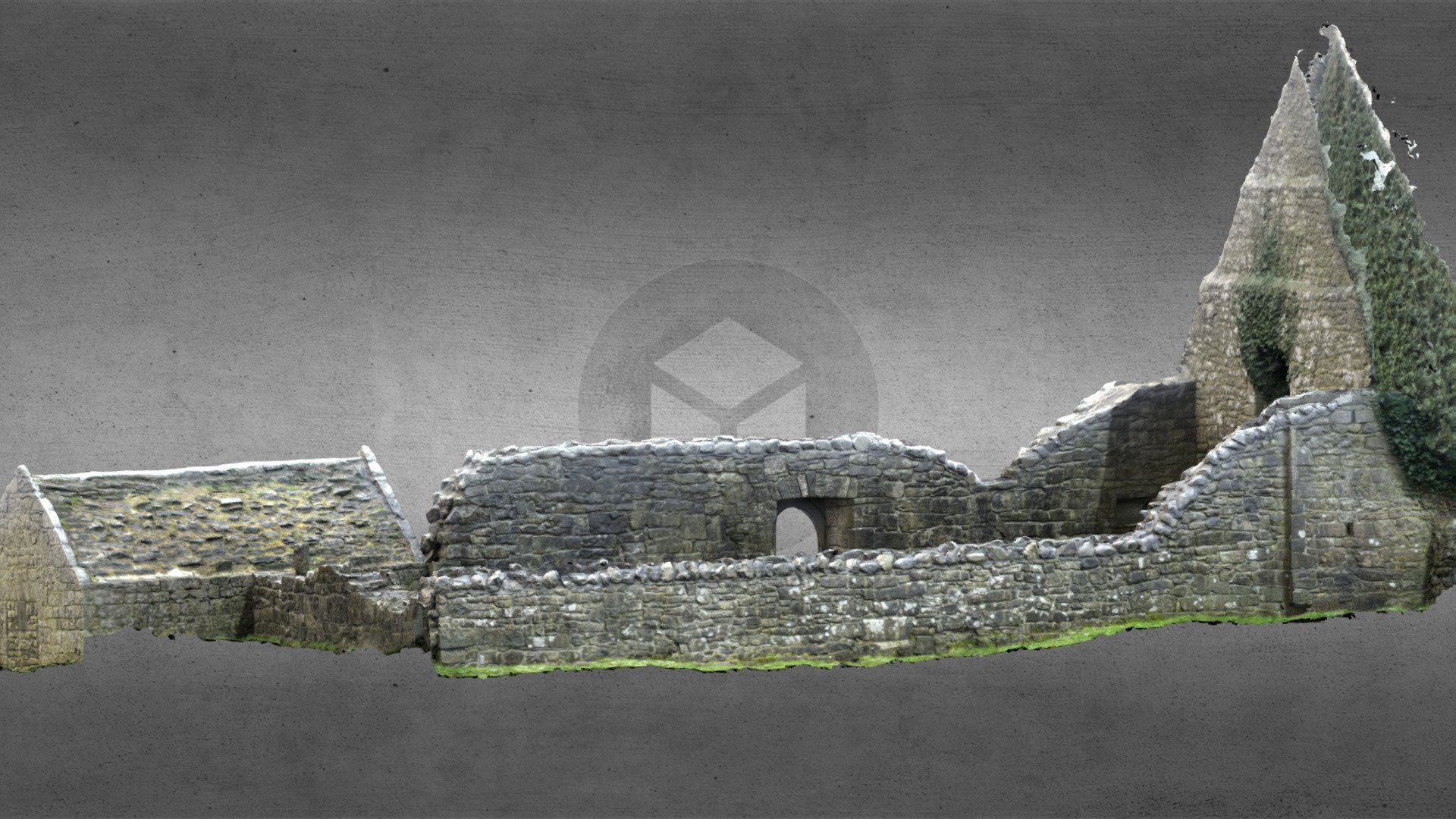 Church (in Ruins)Church · 17 yd
 Ecclesiastical enclosure in TaghboyEcclesiastical enclosure · 27 yd
 Church in Cloghan,curraghadoonChurch · 1000 yd
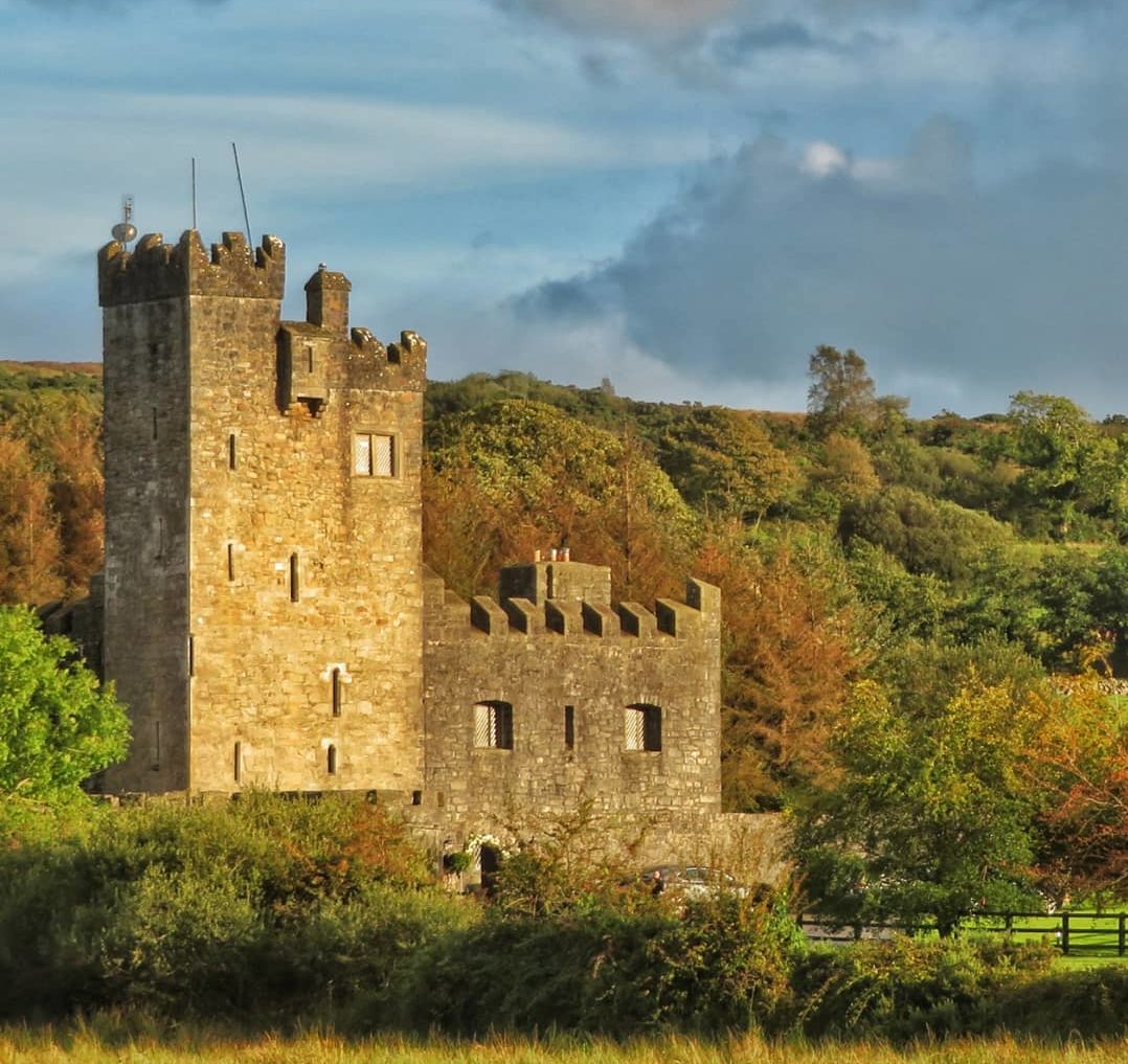 IndicatedEnclosure · 1532 yd
 Inchnaveague IslandIslet · 2.6 mi
 Inch IslandIsland · 2.9 mi
 Site of Ballygar CastleArchaeological place · 4.0 mi
 European Crab AppleEuropean Crab Apple · 4.4 mi
 Castle KellyCastle, tower house · 4.6 mi
 Aughrane WoodsForest · 4.6 mi
 Mount MaryMountain / peak · 7.7 mi
 Kilconnell AbbeyHeritage attraction · 13 mi