
What is recorded here
From the National Monuments Service (Archaeological Survey of Ireland) record WX053-022002
Places near here
Photo credits
- National Inventory of Architectural Heritage
- Maker not stated on source page, www.pinterest.com
- Maker not stated on source page, au.pinterest.com
- User Ali-oops on en.wikipedia, Wikimedia Commons · GFDL
- Ojsyork, Wikimedia Commons · CC BY 4.0
- Maker not stated on source page, uk.pinterest.com
- Maker not stated on source page, knowyourmeme.com
- Kmcnamee, Wikimedia Commons · CC BY-SA 4.0
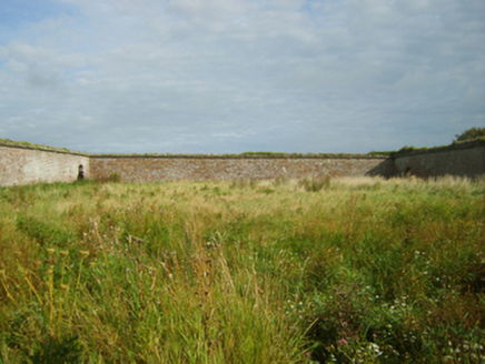 Saint Margaret's HouseFarmyard complex · 136 yd
Explorer Tom Saint Margaret’s House in St. Margarets is a farmyard complex that survived the demolition of a 'fine marine…
 CastleCastle, unclassified · 147 yd
Explorer Tom Castle in St. Margarets is running a very successful dog show where the winner gets to guard the keys. I heard the…
 Standing stone in St. MargaretsStanding stone · 263 yd
Explorer Tom Standing stone in St. Margarets is so round and D-shaped that the local sheep probably think it’s a fancy pebble! It…
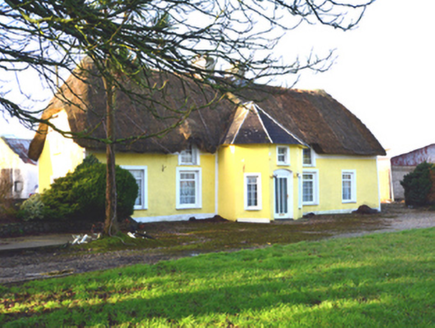 farm house873 yd
Explorer Tom Farm house in Ballyknockan had a cow try to buy it last Tuesday, and honestly, she had better credit than most. It’s…
 Carne BeachBeach / strand · 900 yd
Explorer Tom Carne Beach in County Wexford had a matchmaker who set up couples by throwing them into the water together. It’s blue…
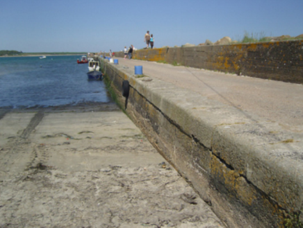 Carnsore PierPier/jetty · 1088 yd
Explorer Tom Carnsore Pier in Carna would make Saint Patrick say something about concrete, probably while drinking his third pint of…
 Lifeboat MemorialMemorial · 1115 yd
Explorer Tom Carnsore’s Lifeboat Memorial is holding onto a superstition that if you wink at the plaque, the next storm will be…
 Tuskar lighthouse information boardVisitor information · 1147 yd
Explorer Tom Tuskar lighthouse information board in County Wexford is the battleground for a feud between two families over who owns…
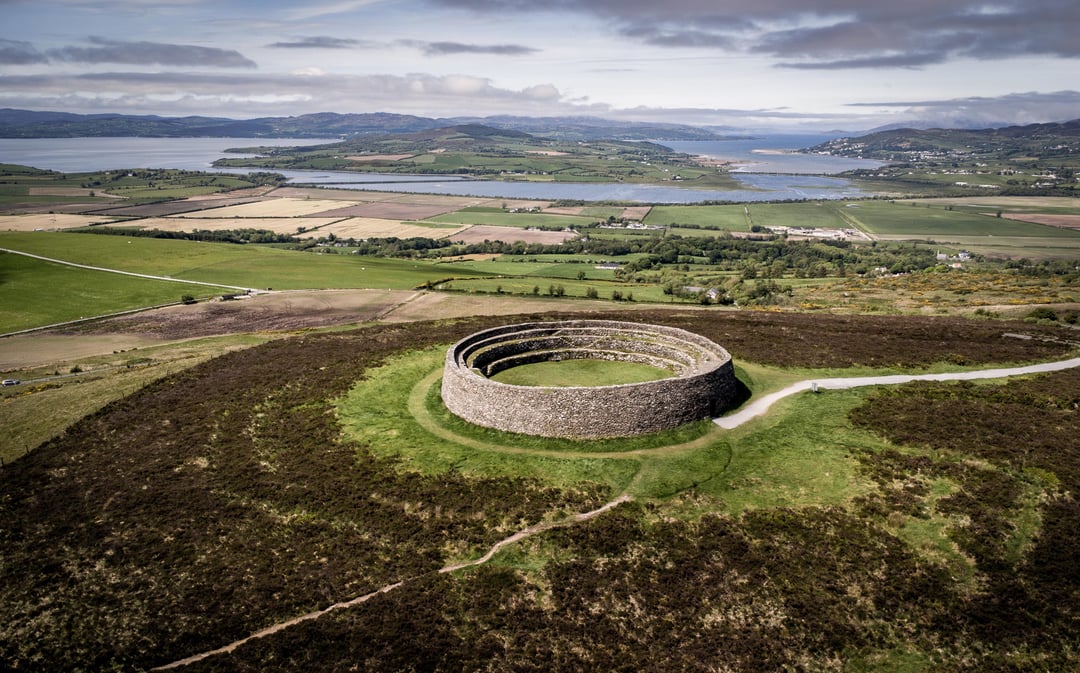 Fairy fort / earthen ringfort in Hilltown (forth By., St. Helen's Ed)Fairy fort / earthen ringfort · 1174 yd
Explorer Tom Fairy fort / earthen ringfort in Hilltown is in a bitter feud with the rain. It hates getting wet and claims the sky is…
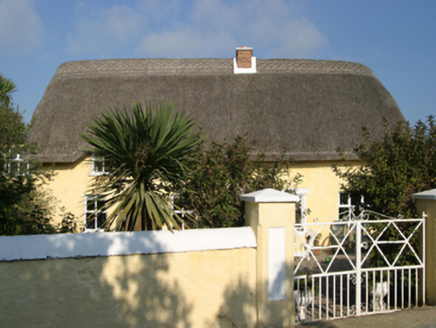 Ballygarra HouseFarm house · 1196 yd
Explorer Tom Kilcowan Upper Farmhouse looks like it’s wearing its castle stones as a jacket, allegedly repurposing rock from the old…
 Our Lady's CemeteryCemetery · 1358 yd
Explorer Tom Our Lady's Cemetery is the target of constant seagull commentary, and frankly, I agree with most of what they are…
 Our Lady's Island GAA pitchGAA ground · 1459 yd
More archaeology and monuments in County Wexford · All of County Wexford

What do you know about this place?Tap to add a comment or ask a question