
What is recorded here
Inchicrenagh Castle still stands nearby, but the church and graveyard have vanished into level pasture. The 1842 map caught them before forgetting took hold: an irregular graveyard with a ruined rectangular church at its centre. Now only grass and memory remain, perhaps still marking the buried people who once gathered there.
In level pasture; no visible surface trace of graveyard or church (CO077-018002-) marked 'site of' on 1935 OS 6-inch map. The 1842 OS 6-inch map shows irregular shaped graveyard with rectangular structure at centre, named 'Church (in ruins)'. Little appears to be known of this site; nearby to E, remains of Inchicrenagh Castle (CO077-02101-).
The above description is derived from the published 'Archaeological Inventory of County Cork. Volume 2: East and South Cork' (Dublin: Stationery Office, 1994). In certain instances the entries have been revised and updated in the light of recent research.
Date of upload/revision: 14 January 2009
The monument record does not grant public access. Check the route and ask the landowner before entering private land.
- What survives
- Recorded monument
Places near here
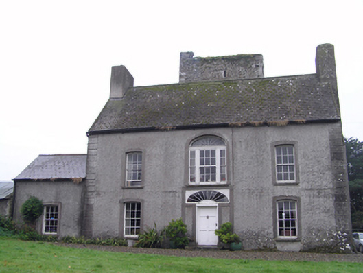 Castle Richardhouse · 557 yd
 Fulacht fia in IghtermurraghFulacht fia · 1.1 mi
 Clonmaine Househouse · 1.2 mi
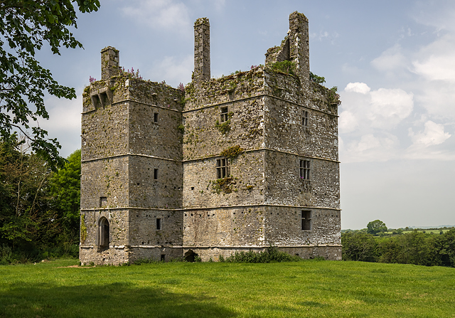 Ightermurragh Castle (in Ruins)House, fortified house · 1.2 mi
 Enclosure in LisglasheenEnclosure · 1.3 mi
 Historical Graveyard InformationVisitor information · 1.7 mi
 Inchiquin Castle (in Ruins)Castle, Anglo-Norman masonry castle · 2.1 mi
 Fainin's WellSpring · 2.5 mi
 William Heffernan MemorialMemorial · 2.6 mi
 Mitchell's WoodWood · 2.8 mi
 Glenbower WoodForest · 3.1 mi
 Glebe IslandIslet · 3.4 mi
Other information
Photo: Credit not shown in the picture search · Rights wording not checked; contact us if this picture should be removed