
What is recorded here
From the National Monuments Service (Archaeological Survey of Ireland) record WM017-005003
Places near here
Photo credits
- National Inventory of Architectural Heritage
- Maker not stated on source page, uk.pinterest.com
- Maker not stated on source page, en.wikipedia.org
- Royalcanalrunner, Wikimedia Commons · CC BY-SA 4.0
- Maker named on the Wikimedia Commons picture page · CC BY-SA 2.5
- Maker not stated on source page, archaeologymag.com
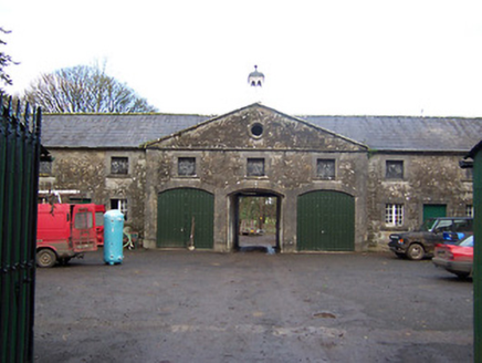 Mearscourt HouseStables · 1669 yd
Explorer Tom Mearscourt House in Rowlandstown is the stable block that thinks it’s the main house, which is a bit of a delusion but…
 CastleCastle, unclassified · 1.0 mi
Explorer Tom Castle in Rowlandstown would bring a plate of cold chips and a strong opinion about politics to any party it attended.…
 gates/railings/walls1.1 mi
Explorer Tom Those rustic gate piers in Curraghboy are holding onto their North Leinster roots tight, refusing to let go even when…
 Earthwork in RowlandstownEarthwork · 1.1 mi
Explorer Tom Earthwork in Rowlandstown holds the fake world record for 'Most Invisible Bump'. It sits on a rise and pretends it’s a…
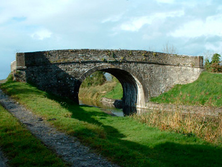 bridge1.4 mi
Explorer Tom Bridge in Castlegaddery is just standing there looking smug, probably because its first owner had a secret escape plan…
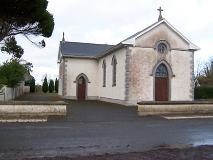 Saint Patrick's Catholic ChurchChurch/chapel · 1.5 mi
Explorer Tom Saint Patrick's Catholic Church in Ballincurra would describe the 1800s to a teenager by saying 'imagine no Wi-Fi but…
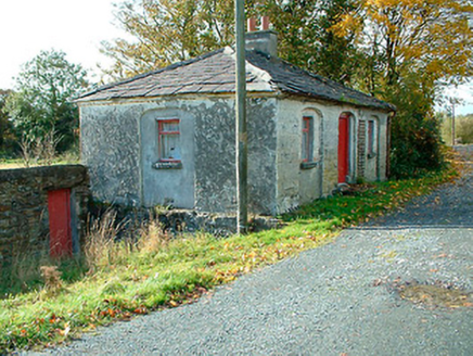 38th LockLock keeper's house · 1.6 mi
Explorer Tom The 38th Lock keeper's house in Castlegaddery has a favourite song that’s just the sound of water sloshing past its…
 Kelly's BridgeBridge · 1.6 mi
Explorer Tom Kelly's Bridge hears the Royal Canal humming lullabies to itself all night long, which explains why the stones look so…
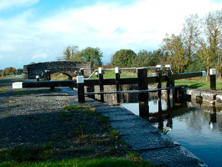 37th LockLock · 1.7 mi
Explorer Tom Thirty-Seventh Lock in Castlegaddery is a stone giant pretending to be a water feature for the Royal Canal Company's…
 Bog BridgeBridge · 2.0 mi
Explorer Tom Bog Bridge does something very strange when nobody is looking: it hums a low tune that sounds suspiciously like a…
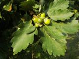 Sessile Oak2.1 mi
Explorer Tom Sessile Oak in County Westmeath is standing there looking distinctly smug, probably judging your life choices from its…
 Fairy fort / earthen ringfort in CorkanFairy fort / earthen ringfort · 2.3 mi
Explorer Tom Fairy fort / earthen ringfort in Corkan has strict rules: no talking loudly, no stepping on the bank, and absolutely no…
More archaeology and monuments in County Westmeath · All of County Westmeath

What do you know about this place?Tap to add a comment or ask a question