DDiscover AloneMapAbout

Graveyard in Rattoo

Graveyard
Computer-made picture that does not show Graveyard in RattooNot a photo of this monument
Computer-made picture. It does not show this monument. · Report the wrong picture

What is recorded here

Rattoo Church (in ruins), graveyard (KE009-056005-). The graveyard is enclosed by a stone wall built in the last century. Rattoo graveyard surveyed in 2012 and described as follows; 'The site of Rattoo church and graveyard is situated in Rattoo townland approximately 3.5km south-east of the village Ballyduff and circa…

Read the whole record
Rattoo Church (in ruins), graveyard (KE009-056005-). The graveyard is enclosed by a stone wall built in the last century. Rattoo graveyard surveyed in 2012 and described as follows; 'The site of Rattoo church and graveyard is situated in Rattoo townland approximately 3.5km south-east of the village Ballyduff and circa 21 km north of Tralee. The site is located on flat ground with expansive views in all directions and circa 0.77km west of the River Brick that issues into the Cashen River at Dysert Marshes abutting Rattoo. The early medieval ecclesiastical complex of Rattoo, (An Ráth Thuaidh- the northern fort), is National Monument No. 55. Rattoo parish church and graveyard are an integral part of a wider monastic and developed ecclesiastical complex that dates from the early medieval period that is best exemplified monumentally by the presence of one of the finest Round Towers in Ireland. The graveyard is enclosed by a high stone wall in good order. It contains a twenty nine tombs and sixteen named headstones the earliest of which dates to 1770. Dispersed around the S, SE & E limits of the graveyard are forty five unhewn gravemarkers. Entrance into graveyard is through an iron gate in poor neglected state. The gate is set beneath a fine stone arch. Beside the gate is a modern galvanised swing-stile in good order. A new entrance to access the Round Tower has also been recently constructed by the OPW. The graveyard and church are enclosed by a high uncoursed rubble stone wall along its W, N and E as well as circa 50% of its S boundary where the height of the wall achieves a maximum height of 1.4m. Apart from some ivy on the high section of the S boundary, the walls have, little or no growth or breaches and are in good order. There are twenty nine, (29), tombs within the graveyard including the two in the church. Most of the tombs are the haunched ‘strong-box’ or gabled type. The tombs have all been generally repaired, repointed and in one case completely re-rendered. Another tomb at the NE area of the graveyard is currently under repair. There were forty-five, (45), unnamed headstones (HWN) in total recorded in the course of this survey' (Dunne 2012, 1-9). See attached plan of graveyard courtesy of Laurence Dunne. Dingle. Brandon in association with FAS Training and Employment Authority (1995), no. 938. Revised by: Caimin O'Brien based on details provided by Laurence Dunne Date of revised upload: 4 May 2022

From the National Monuments Service (Archaeological Survey of Ireland) record KE009-056005

The monument record does not grant public access. Check the route and ask the landowner before entering private land.

What do you know about this place?Tap to add a comment or ask a question

What you write will be public.

Places near here

Photo credits
  • MickReynolds, Wikimedia Commons · CC BY-SA 4.0
  • Patrice78500, Wikimedia Commons · Public domain
  • National Inventory of Architectural Heritage
  • PST Sport; photographer not named, pstsport.com
  • Bernard, Geograph · CC BY-SA 2.0
  • Golfing in Ireland; photographer not stated, Source publisher
  • Adrian King, Geograph · CC BY-SA 2.0
  • Colin Park, Geograph · CC BY-SA 2.0
  • Peter Craine, Wikimedia Commons · CC BY-SA 2.0
  • Irina Guerin, Wikimedia Commons · CC BY-SA 4.0
Rattoo Church (in ruins)Church · 10 yd

Explorer Tom Rattoo Church sits there looking smug, guarding secrets it’d only spill after three pints. It’s been standing in that…

Round Tower24 yd

Explorer Tom Round Tower in Rattoo has a secret it would only tell after a few pints: that its top was replaced in 1880 because it…
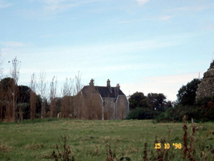
Rattoo HouseHouse · 208 yd

Explorer Tom Rattoo House in Rattoo is Venetian Gothic flash that scared off a bishop who thought it was too fancy for his boots. It…
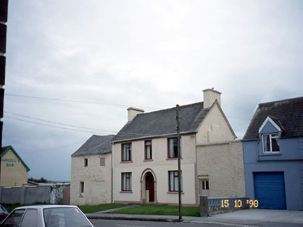
barracks1624 yd

Explorer Tom Barracks in Benmore has a long-standing grudge with the weather, mostly because it’s now an outbuilding. The painted…
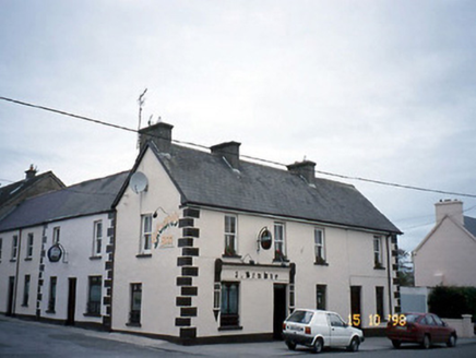
J. BrowneHouse · 1638 yd

Explorer Tom J. Browne holds the world record for being the corner house nobody asks about. It’s been a pub, so it knows every…

Ballyduff GAA pitchGAA ground · 1.0 miCrossCross, High cross · 4.6 mi

Explorer Tom This high cross ended up in the wrong place because someone thought 'across the road' was a valid relocation plan. Now…
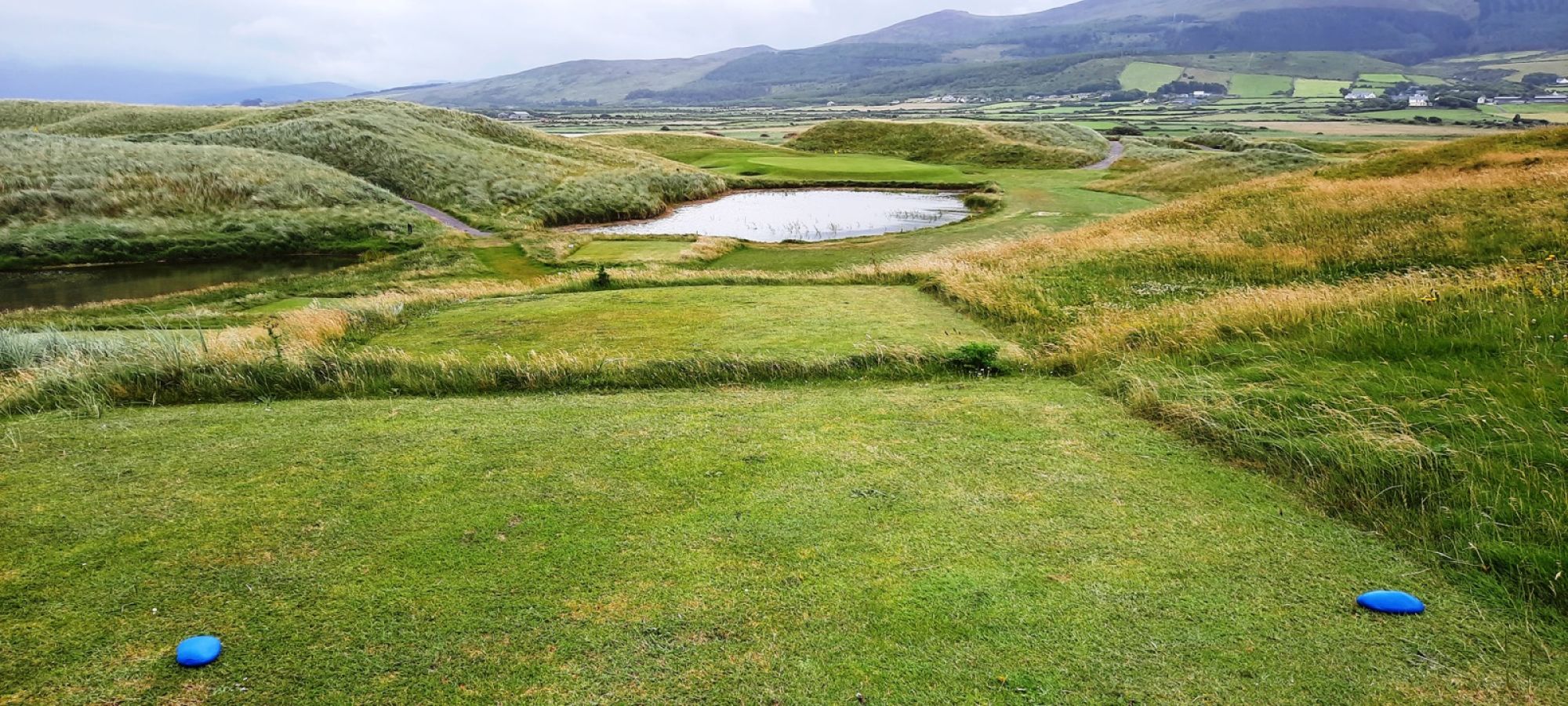
Castlegregory Golf ClubGolf course · 22 miFermoyle BeachBeach / strand · 22 mi

Explorer Tom Fermoyle Strand is what happens when Kerry gives a beach plenty of room and puts a mountain behind it for good measure.…
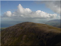
Stradbally MountainMountain / peak · 23 mi

Explorer Tom Stradbally Mountain has a name that sounds as though it ought to have a shop, a post office and a fellow leaning out to…

Binn os GaoithMountain / peak · 24 mi

Explorer Tom Binn os Gaoith in County Kerry has a family tree that is ninety percent made-up stories about wind spirits. It claims…

Graveyard in BallynacourtyGraveyard · 26 mi

Explorer Tom Graveyard in Ballynacourty has an imaginary fan club that meets every Tuesday to argue about its headstones. It was a…

More archaeology and monuments in County Kerry · All of County Kerry

Add to this placeAdd a picture Add a detailed tip Add a story

Explore the map1,095,414 places to discover

Next place · or swipeRattoo Church (in ruins)